U.S. flag

An official website of the United States government

DATA & MAPS

Select categories to browse data

Looking to Download Data? The Drought.gov team reformats data from multiple partners into web- and GIS-ready formats, which we use throughout Drought.gov. These data are free for all to download.
Search Results(12)

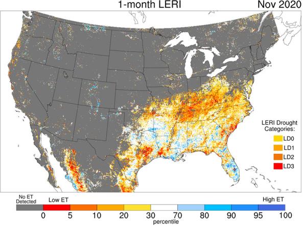
The Landscape Evaporative Response Index (LERI) is an experimental drought monitoring and early warning guidance tool that measures the anomaly in the actual evapotranspiration (ETa) from the

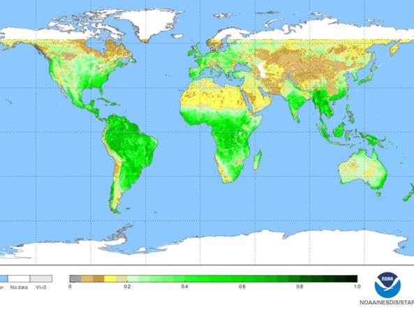
NOAA Center for Satellite Applications and Research (STAR) normalized difference vegetation index (NDVI) maps

A selection of worldwide maps monitoring different aspects of vegetation health.

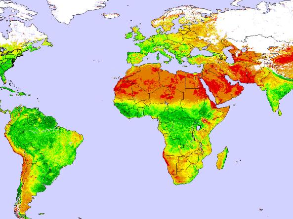
Global and Regional Vegetation Health (VH) is a NOAA/NESDIS system estimating vegetation health, moisture condition, thermal condition and their products.