




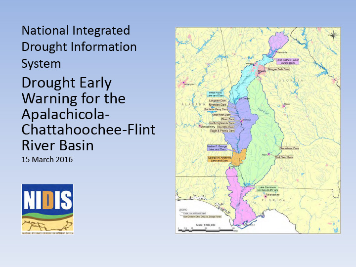
Briefing slides from March 15, 2016 ACF Drought Early Warning Webinar.
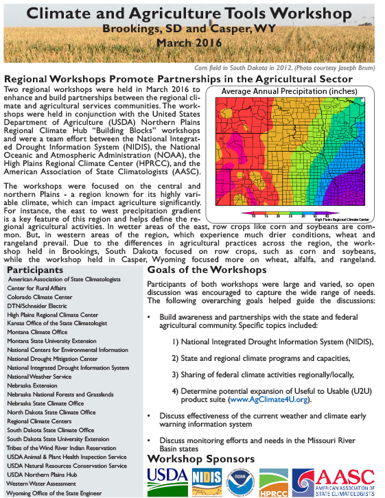
Two-pager describes regional workshops held in March 2016 in Brookings, SD and Casper, WY to enhance and build partnerships between the regional climate and agricultural services communities.
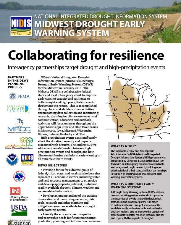
Description of the planning process behind launch of the Midwest Drought Early Warning System in February 2016.
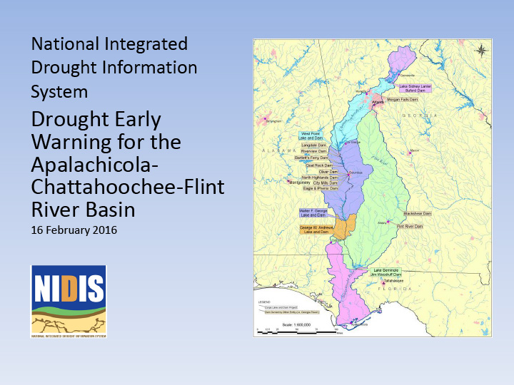
Briefing slides from February 16, 2016 ACF Drought Early Warning Webinar.
Needs, motivation, datasets, pilot cases, goals, lessons learned so far in developing a national soil moisture network.
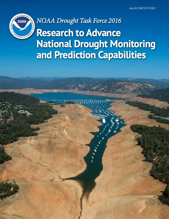
In partnership with the National Integrated Drought Information System (NIDIS) and in coordination with other agency programs, the NOAA Climate Program Office’s Modeling, Analysis, Predictions, and Projections program (MAPP) works with the drought research and operational community, and NOAA Climate Test Bed to support research that advances capabilities undergirding the creation of a more drought-resilient nation.
A presentation given by Harvey Hill, AAAS Policy Fellow, U.S. Army Corps of Engineers, at the Midwest Climate Outlook and Drought Early Warning System Kickoff Meeting that took place February 9-11, 2016 in St. Louis, Missouri. Discusses the usefulness of drought tournaments as a tool to get people thinking about drought planning and mitigation.
Overview of drought simulation exercises (sometimes called “tournaments”).
A presentation given by Jessica Lucido, Soil Moisture Project Manager, USGS, at the Midwest Climate Outlook and Drought Early Warning System Kickoff Meeting that took place February 9-11, 2016 in St. Louis, Missouri. Discusses the Soil Moisture Monitoring Network and the data that is gathered.
A presentation given by Ray Wolf, Science and Operations Officer, Iowa Weather Forecast Office, National Weather Service, at the Midwest Climate Outlook and Drought Early Warning System Kickoff Meeting that took place February 9-11, 2016 in St. Louis, Missouri. Discusses the climate of the Midwest by showing temperature, precipitation and snow anomalies; shows current snow depth, snow water equivalent, soil moisture and other data.