cli-MATE
NOAA Midwestern Regional Climate Center (MRCC)
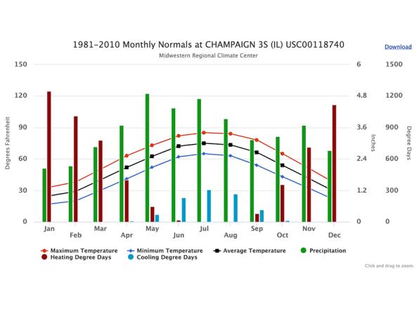
Run by the NOAA Midwestern Regional Climate Center (MRCC), cli-MATE is the MRCC's Application Tools Environment for accessing climate data and value-added tools. cli-MATE can be used to look up information such as raw climate data, rankings of climate information, thresholds, growing season tools, maps, graphs, and more.
To use cli-MATE, users must create a free account and log in.
Access
Selected tools within cli-MATE (must log in to access):
- Interpolated Station Data: Create temperature and precipitation maps for customized time frames, data networks, and regions
- Degree Days: Create plots showing the accumulation of degree days for a chosen location and date range
- Daily Station Selector Tool: Choose the daily station of interest by using a map, where you can select from multiple climate data networks
- Seasonal Statistics: Compare customized seasonal statistics, including first/last snowfalls, degree days, and freeze events


