U.S. flag

An official website of the United States government

NEWS ARCHIVE

Browse news articles

Published Date Between
Search Results(173)
Published on

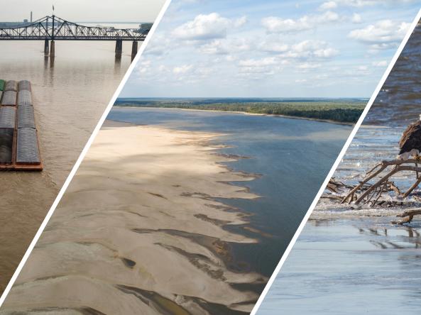
Actionable, user-friendly, and reliable information is essential for risk-informed decision-making across the Mississippi River Basin. In response to impacts of drought in the region, NOAA’s National Integrated Drought Information System (NIDIS) built a Mississippi River Basin Drought and Water Dashboard

Published on

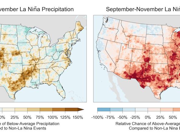
The El Niño-Southern Oscillation (ENSO) is a recurring phenomenon defined by shifts in tropical Pacific Ocean sea surface temperatures, ocean currents, and overlying atmospheric winds.  La Niña conditions are forecast in late 2025 and early 2026, which increases the chances for below-average precipitation and above-average temperatures in the Southwest, Southeast, Southern California, and Texas.

Published on

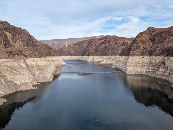
This record-setting Western U.S. drought in the early 2020s, plus the southwestern megadrought dating back to 2000, has left Western U.S. water supplies in a perilous position. NIDIS is launching this special communications effort, running throughout the Water Year 2026 (October 1, 2025–September 30, 2026), to alert economic sectors and the public in the Western U.S. of the risk to water supplies.

Published on

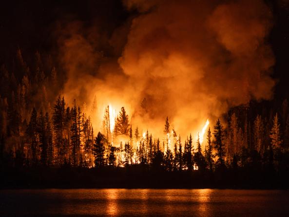
This summer, hot and dry conditions are already driving large wildfires in the Western U.S. Check out the 10 maps below to better understand the conditions underlying current large fires and what’s forecast for fire and drought in the coming months.

Published on

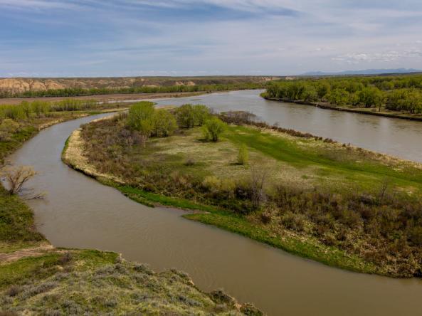
In the Upper Missouri River Basin (UMRB), catastrophic floods and droughts between 2011 and 2017 highlighted the need for more and better water information to respond to extremes from both sides of the water supply spectrum. But there is a challenge: Monitoring drought typically involves looking at hydrological indicators, like soil moisture and snowpack, through the lens of historical conditions for a given location. The Upper Missouri River Basin Soil Moisture and Snow Maps Dashboard demonstrates an approach for communicating soil moisture and snowpack data when only short periods of record are available.

Published on

The American Meteorological Society (AMS) is hosting its 106th annual meeting on January 25–29, 2026, in Houston, Texas. This year, the meeting will focus on the theme, “Fast and Slow Thinking: The Human Factor in a Rapidly Changing World.”

Published on

Weather whiplash is the abrupt and intense change from one extreme weather condition to another, such as dramatic temperature swings from hot to cold, heavy snowfall to rapid melt, and as is common in Texas, a period of prolonged drought followed by flooding. 

Published on

The 16th annual National Soil Moisture Workshop was hosted by the U.S. Department of Agriculture - Agricultural Research Service (USDA ARS) and NOAA's National Integrated Drought Information System (NIDIS), in partnership with the US Forest Service and Colorado State University. The theme for the June 3–5 meeting was “making soil moisture science actionable.” With 90 in-person participants, this was one of the largest turn outs to date.

Published on

Across the U.S., warmer-than-normal temperatures are favored in June through August 2025. The Northwest, Northern Rockies, and Great Plains have greater chances of below-normal precipitation. The Eastern U.S. is favored to see a wetter-than-normal summer.

Published on

Drought and heat often appear together, but new research funded by NOAA’s National Integrated Drought Information System found that drought can lengthen heat waves occurring at the same time.