Climate Engine
Desert Research Institute, Western Regional Climate Center, University of California, Merced
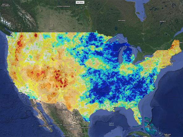
Climate Engine is a partnership between the Desert Research Institute, University of Idaho, and Google that started through a Google Faculty Research award White House Climate Initiative. ClimateEngine.org is one of numerous research and application products that have resulted from this initiative and public-private partnership. Climate Engine allows users to analyze and interact with climate and earth observations for decision support related to drought, water use, agricultural, wildfire, and ecology.
In an era of increasing wealth of earth observations, approaches for quickly accessing, analyzing and visualizing these environmental data to better inform decision making at relevant scales is lacking. Climate Engine created the Climate Engine Application to enable users to quickly process and visualize satellite earth observations and gridded weather data for environmental monitoring and to improve early warning of drought, wildfire, and crop-failure risk. Instead of processing entire archives, focus on data discovery and answers.
How to
What can I do with these data?
The Climate Engine enables users to quickly process and visualize satellite earth observations and gridded weather data for environmental monitoring and to improve early warning of drought, wildfire, and crop-failure risk. Instead of processing entire archives, focus on data discovery and answers.
How do I use the Climate Engine Application?
- Choose between “Make Map” or “Make Graph” tabs in the top right section of the application
- Make Map:
- Use the drop-down menus (on the left) to select a “Variable”, “Processing”, and “Time Period”
- Select “Get Map Layer” and map will load
- Use the drop-down menus (above the map) to “Change Colors”, “Add Layers”, “Apply Mask” or to “Download Data”
- Make Graph:
- Use the drop-down menus (on the left) to select a “Region”, “Time Series Calculation”, “Variable”, and “Time Period”
- Select “Get Time Series” and map will load
- Use the drop-down menus (above the map) to “Change Graph”, or add “Statistics”
- To print or download, select “Print” or “Download” in the upper right section of the graph
Access
Climate Engine Web Application: Interactive map and graph generator
Climate Engine: The home page for Climate Engine
Climate Engine Data: Data Collections for Climate Engine