InciWeb: Incident Information System
National Wildfire Coordinating Group
InciWeb is an interagency all-risk incident information management system. InciWeb offers “one-stop shopping” for public information officers and other communications team members to provide the most current information about wildfires, prescribed burns, floods, hurricanes, and other incidents to the public, news media, and other interested parties.
It also provides a convenient way for audiences to find updated, consistently formatted information about incidents happening all across the country. InciWeb is a source for incident and contact information, news releases, closure information, photos, maps and videos for incidents that occur on federal, state, tribal, and local jurisdictions.
Access
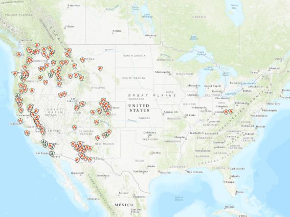
Interactive Map: View incidents on a map
Table of Incidents: View incidents as a table
Documentation