Site Section
Data & Maps
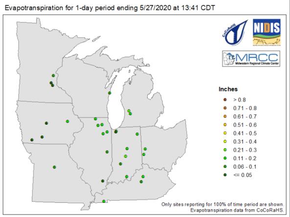
MRCC Evapotranspiration & Water Balance Maps
Associated Agencies
Midwestern Regional Climate Center
The Midwestern Regional Climate Center (MRCC) produces maps showing evapotranspiration and water balance for certain stations in the Midwest region at 1-day, 7-day, 14-day, 30-day, and 60-day intervals.
The evapotranspiration (ETo) amount shown on the maps is a measured value using an atmometer. Water balance is the difference between precipitation accumulated in a period and the total ETo through that same period.
Partner(s)
Representative Image