National Risk Index for Natural Hazards
Federal Emergency Management Agency (FEMA)
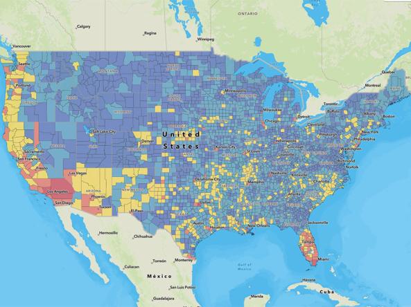
The National Risk Index is an online tool that aims to illustrate the communities most at risk of natural hazards, including drought. It is made possible through a collaboration between FEMA and dozens of partners in academia; local, state and federal government; and private industry.
According to FEMA, the National Risk Index strives to provide a holistic view of community-level risk nationwide by combining multiple hazards with socioeconomic and built environment factors. It calculates a baseline relative risk measurement for each United States county and census tract for 18 natural hazards, based on expected annual loss (which incorporates data for natural hazard exposure, natural hazard frequency, and historic loss), social vulnerability, and community resilience.
Access
National Risk Index: Main website; access information about the Index, interactive maps, and data downloads
FEMA Product Page: Learn more about the National Risk Index and how to use it
Documentation
National Risk Index Primer (PDF): Summarizes the National Risk Index documentation
National Risk Index Technical Documentation (PDF): Comprehensive details about the Index, including its background, data sources, and processing methodologies