Site Section
Data & Maps
Southern Regional Climate Center Dashboard
Associated Agencies
Southern Regional Climate Center
The Southern Regional Climate Center Dashboard provides climate data products for the Southern Region: Arkansas, Louisiana, Mississippi, Oklahoma, Tennessee, and Texas.
This includes summaries and graphs of climate data (e.g., temperature, precipitation, SPI), as well as searchable information on climate normals, storm reports, tropical cyclone activity, weather extremes, and historical storm surge information.
Access
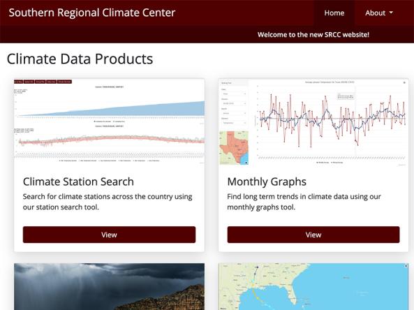
Southern Regional Climate Center Dashboard: Home page
- Climate Station Search: Search for climate stations across the country to view station information, such as annual plots of precipitation and temperature data, monthly reports, and climate normals
- Monthly Graphs: View and download monthly temperature and precipitation graphs and find long-term climate trends
- Climate Data Portal: Query data straight from the source, including annual and monthly climate data summaries, seasonal ranking data, and more
- Storm Reports: View storm information by date and storm type (e.g., drought, flood, hail)
- Tropical Desk: View information on current and past Atlantic tropical cyclone activity
- Monthly Summaries: View monthly summary climate data by state and climate division
- Regional Summaries: View ACIS climate maps by region, state, and nationwide
- Climate Normals: View 1991–2020 climate normals by station
- Ranking Tool: View temperature and precipitation records for Arkansas, Louisiana, Mississippi, Oklahoma, Tennessee, Texas, and the entire Southern Region
- Extremes Tool: View an interactive map of extreme weather conditions, including daily, monthly and all-time temperature and precipitation records
- Hourly Lister: View hourly data for stations
- Surge Tracker: View storm surge information on an interactive map and graphs
Documentation
Partner(s)
Representative Image