U.S. flag

An official website of the United States government

DATA & MAPS

Select categories to browse data

Looking to Download Data? The Drought.gov team reformats data from multiple partners into web- and GIS-ready formats, which we use throughout Drought.gov. These data are free for all to download.
Search Results(32)

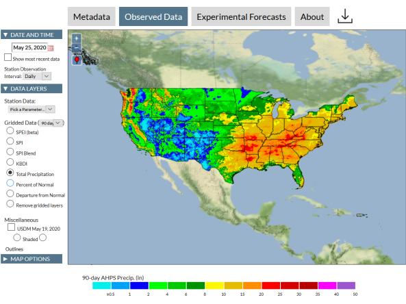
This tool, available as part of The Climate Toolbox, provides maps and summary tables of different drought types, such as agricultural and meteorological drought, for a location in the contiguous U

The Integrated Water Portal is a map-driven data exploration and visualization tool that brings together water data from several agencies and allows users to quickly explore regional and local wate

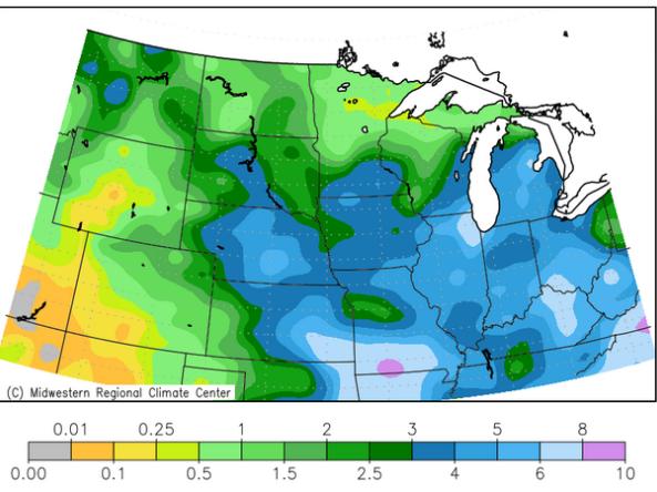
The Midwest Climate Watch is a resource for current climate information for the Midwestern region of the United States, produced by the Midwestern Regional Climate Center (MRCC).

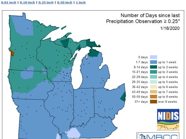
MRCC produces maps showing the number of days that certain stations in the Midwest region have gone without precipitation.