Quarterly Climate Impacts and Outlook for the Midwest Region for December 2016 – February 2017. Dated March 2017.
Quarterly Climate Impacts and Outlook for the Western Region for December 2016 – February 2017. Dated March 2017.
Quarterly Climate Impacts and Outlook for the Great Lakes Region for December 2016 – February 2017. Dated March 2017.

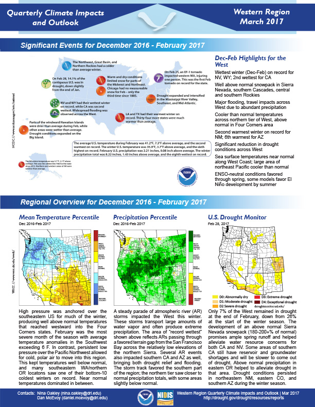
HIghlights from December 2016, January and February 2017 for the Western states include:
Quarterly Climate Impacts and Outlook for the Gulf of Maine Region for December 2016 – February 2017. Dated March 2017.
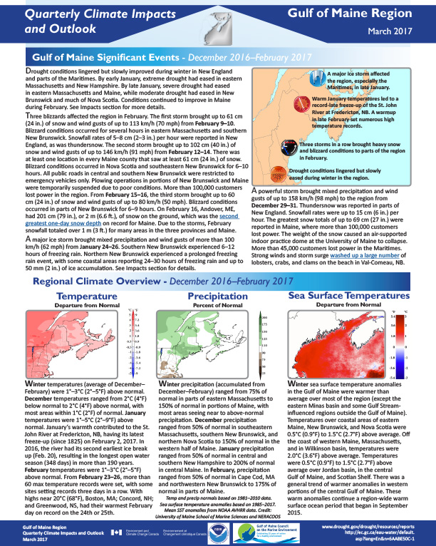
Drought conditions lingered but slowly improved during winter in New England and parts of the Maritimes. By early January, extreme drought had eased in eastern Massachusetts and New Hampshire. By late January, severe drought had eased in eastern Massachusetts and Maine, while moderate drought had eased in New Brunswick and much of Nova Scotia. Conditions continued to improve in Maine during February. See Impacts section for more details.
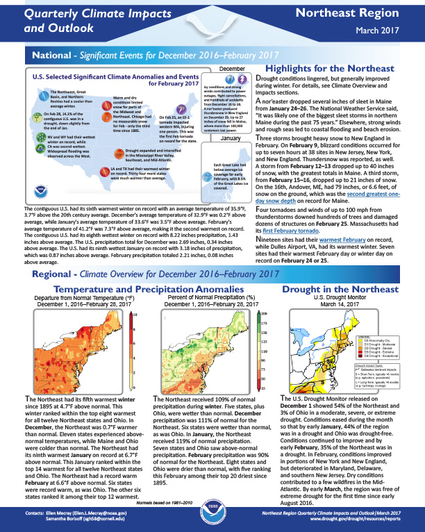
Quarterly Climate Impacts and Outlook for the Northeast Region for December 2016 – February 2017. Dated March 2017.
Drought conditions lingered, but generally improved during winter. For details, see Climate Overview and Impacts sections.
A nor’easter dropped several inches of sleet in Maine from January 24–26. The National Weather Service said, “It was likely one of the biggest sleet storms in northern Maine during the past 75 years.” Elsewhere, strong winds and rough seas led to coastal flooding and beach erosion.
Quarterly Climate Impacts and Outlook for the Southeast Region for December 2016 – February 2017. Dated March 2017.
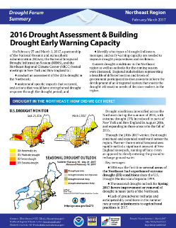
Summarizes information and results of two Northeast drought forums held in winter 2017, the first in New York State on Feb. 27 and the second in Massachusetts on March 1. The meetings was designed to
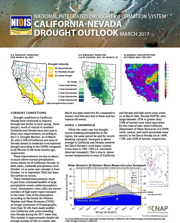
This two-page summarizes the March 27, 2017 California-Nevada DEWS Drought & Climate Outlook Webinar, part of a series of regular drought and climate outlook webinars designed to provide stakeholders and other interested parties in the region with timely information on current drought status and impacts, as well as a preview of current and developing climatic events like La Niña. Includes information about snowpack and climateengine.org
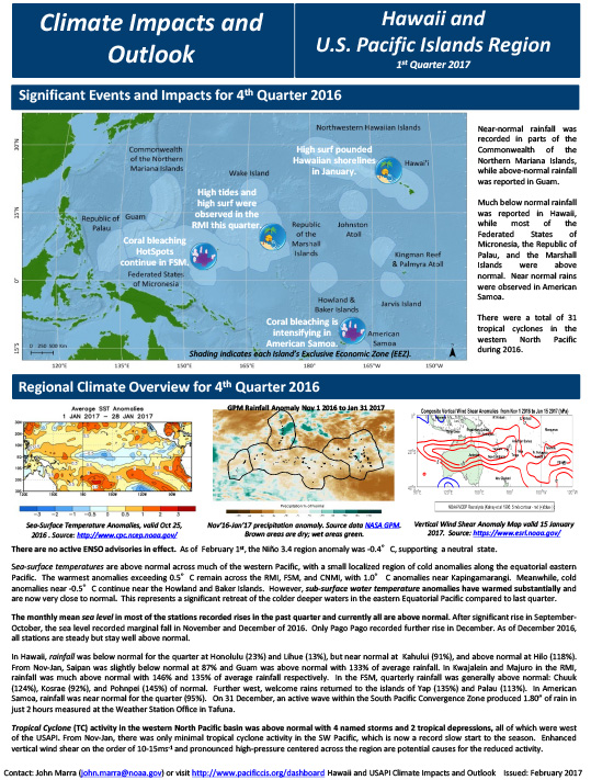
Quarterly Climate Impacts and Outlook for the Hawaii and the U.S. Pacific Islands Region for November 2016 – January 2017. Dated February 2017.
Includes significant events and impacts for Q4 2016; regional climate overview; sectoral impacts, and regional outlook for Feb. through April 2017.