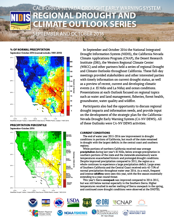
In September and October 2016 the National Integrated Drought Information System (NIDIS), the California Nevada Climate Applications Program (CNAP), the Desert Research Institute (DRI), the Western Regional Climate Center (WRCC) and other partners held a series of regional Drought and Climate Outlooks throughout California. These full-day meetings provided stakeholders and other interested parties with timely information on current drought status, as well as a preview of recent, current and developing climatic events (i.e. El Niño and La Niña) and ocean conditions.
Update on Pacific Northwest regional activities by various climate research and information groups.
Covers amount of water needed for adequate irrigation supplies in 2017, plus an agency update:
Partnerships between Natural Resources Conservation Service, Boise State University and Idaho Water Resources Board Surface water supply index (SWSI) surplus thresholds Status of NRCS Snow Survey Program
Review of conditions in Snake River basin over the 2016-17 Water Year.
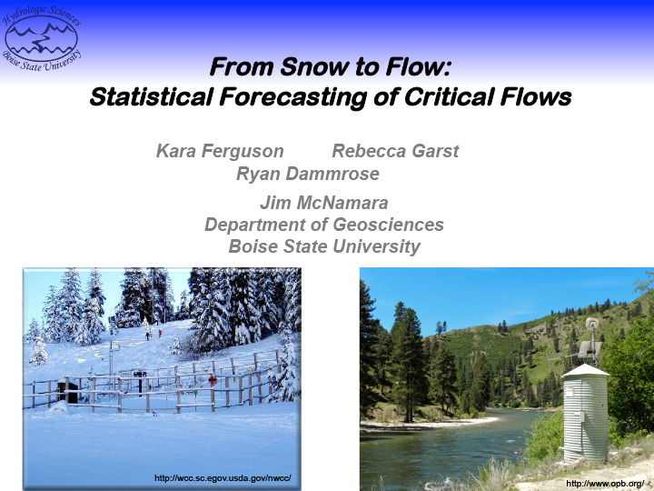
How patterns in snowmelt and streamflow are related, anecdotal “Rules of Thumb” and statistical tools for measuring the amount of snow, when it melts and how quickly it melts in different parts of Idaho.
Explains what is NIDIS, what is a drought early warning, what is a Drought Early Warning System (DEWS), background of Pacific NW DEWS.
Current drought/climate conditions in the Pacific Northwest: precipitation, soil moisture, temperature.
Overview of 2015-16 cloud season results, Payette Target-Control, Basin-wide Target-Control results, Weather Research Forecast (WRF) modeling results, WRF model example, 2016-17 project overview, SNOWIE: Seeded and Natural Orographic Wintertime clouds — the Idaho Experiment.
Water Year 2016-17 conditions in the Payette and Owyhee River drainages.
Discussion of the relationship between drought and wildfire. Key message include:
Drought is now affecting all ecosystems, could get worse Changes most obvious in the West, impacts in eastern forests through morbidity, slow decline Impacts both immediate and long-lasting Plant stress, drought-tolerant species Habitat shifts Some invasive species can benefit Reduced carbon storage and water supplies Manage to increase resiliency and resistance