Citizen Science Condition Monitoring
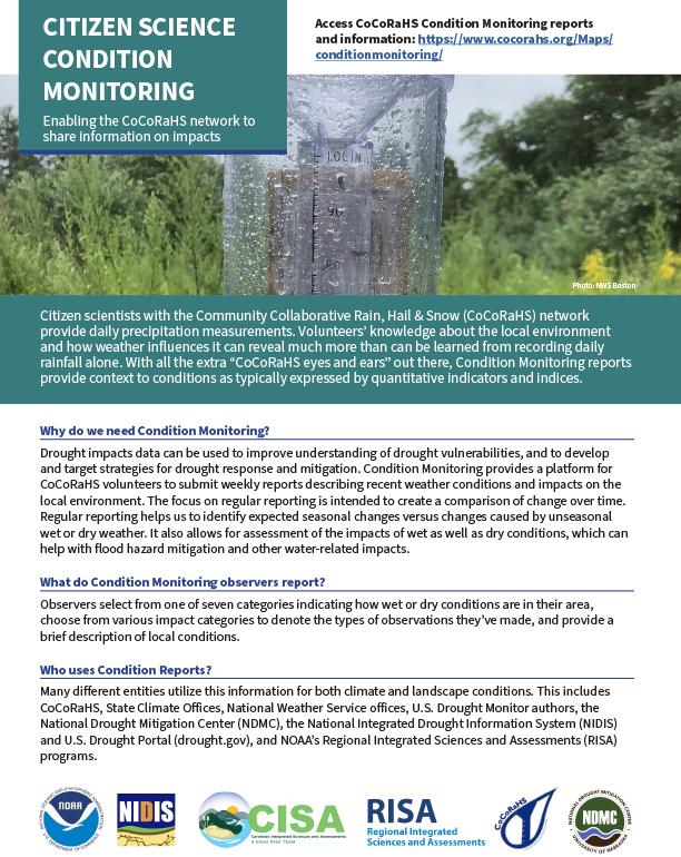
Citizen scientists with the Community Collaborative Rain, Hail & Snow (CoCoRaHS) network provide daily precipitation measurements. Volunteers’ knowledge about the local environment and how weather influences it can reveal much more than can be learned from recording daily rainfall alone. With all the extra “CoCoRaHS eyes and ears” out there, Condition Monitoring reports provide context to conditions as typically expressed by quantitative indicators and indices.
Why do we need Condition Monitoring?
Drought impacts data can be used to improve understanding of drought vulnerabilities, and to develop and target strategies for drought response and mitigation. Condition Monitoring provides a platform for CoCoRaHS volunteers to submit weekly reports describing recent weather conditions and impacts on the local environment. The focus on regular reporting is intended to create a comparison of change over time. Regular reporting helps us to identify expected seasonal changes versus changes caused by unseasonal wet or dry weather. It also allows for assessment of the impacts of wet as well as dry conditions, which can help with flood hazard mitigation and other water-related impacts.
What do Condition Monitoring observers report?
Observers select from one of seven categories indicating how wet or dry conditions are in their area, choose from various impact categories to denote the types of observations they’ve made, and provide a brief description of local conditions.
Who uses Condition Reports?
Many different entities utilize this information for both climate and landscape conditions. This includes CoCoRaHS, State Climate Offices, National Weather Service offices, U.S. Drought Monitor authors, the National Drought Mitigation Center (NDMC), the National Integrated Drought Information System (NIDIS) and U.S. Drought Portal (drought.gov), and NOAA’s Regional Integrated Sciences and Assessments (RISA) programs.
How do I learn more about Condition Monitoring?
Visit the ‘Condition Monitoring Resources Page’ (https://www.cocorahs.org/Content.aspx?page=condition) on the CoCoRaHS site for guidance information and additional background on available data tools. Here is what you will find:
- A Condition Monitoring Reporting Guide provides an easy-to-understand slide tutorial on how to monitor local conditions. This includes description examples, reporting categories and more. There is also a fun Training Animation video. Additional guidance specific to the regional level will be released soon via CoCoRaHS.
- A list of Frequently Asked Questions
- The Condition Monitoring Interactive Map allows users to view individual condition monitoring reports spatially and in conjunction with other contextual information, such as the US Drought Monitor Map.
Background
In collaboration with NIDIS, NDMC and the CoCoRaHS network, the Carolinas Integrated Sciences and Assessments (CISA; a RISA team) developed the Condition Monitoring approach as a pilot under the Coastal Carolinas Drought Early Warning System (DEWS) program. This successful regional effort was expanded to a national scale in 2016. As of November 2019, over 48,000 reports have been submitted by more nearly 4,500 observers. This project is supported by NIDIS.
Questions or Suggestions?
Contact your regional CoCoRaHS Coordinator with any questions: https://www.cocorahs.org/Content.aspx?page=coord
Become a Condition Monitoring Observer! Sign up online at the CoCoRaHS website: https://www.cocorahs.org/


