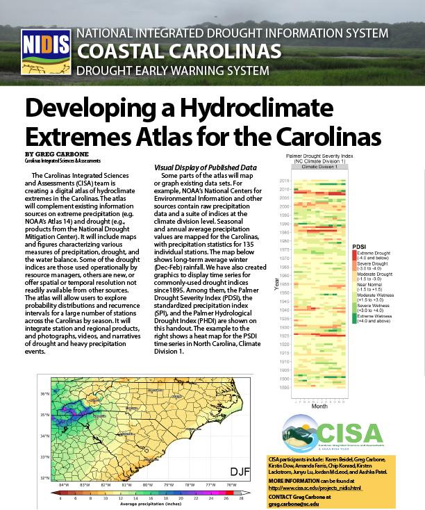
Developing a Hydroclimate Extremes Atlas for the Carolinas
The Carolinas Integrated Sciences and Assessments (CISA) team is creating a digital atlas of hydroclimate extremes in the Carolinas. The atlas will complement existing information sources on extreme precipitation (e.g. NOAA’s Atlas 14) and drought (e.g., products from the National Drought Mitigation Center). It will include maps and figures characterizing various measures of precipitation, drought, and the water balance. Some of the drought indices are those used operationally by resource managers; others are new, or offer spatial or temporal resolution not readily available from other sources.
The atlas will allow users to explore probability distributions and recurrence intervals for a large number of stations across the Carolinas by season. It will integrate station and regional products, and photographs, videos, and narratives of drought and heavy precipitation events.


