Global Historical Climatology Network (GHCN)
National Oceanic and Atmospheric Administration (NOAA)/National Centers for Environmental Information (NCEI)
As NOAA's primary station data set, the Global Historical Climatology Network (GHCN) is an integrated database of daily climate summaries from land surface stations across the globe, including a common suite of quality assurance reviews. NOAA’s National Centers for Environmental Information (NCEI) produces the GHCN data set.
GHCN contains records from over 100,000 stations in 180 countries and territories. NCEI provides numerous daily variables, including maximum and minimum temperature, total daily precipitation, snowfall, and snow depth; however, about one half of the stations report precipitation only. Both the record length and period of record vary by station and cover intervals ranging from less than a year to more than 175 years.
Every day there are updates to GHCN-Daily station data from a variety of data streams, which also undergo a suite of quality checks. In addition the dataset is reconstructed each weekend from its 25-plus data source components to ensure that GHCN-Daily is generally in sync with its growing list of constituent sources. During this process, the system applies quality assurance checks to the full dataset.
How to
NCEI provides raw GHCN data for download as text files. These files require parsing with computer programs and scripts.
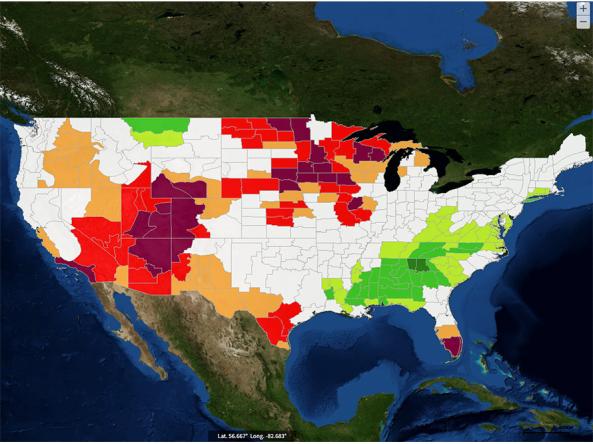
NCEI also provides an ordering and mapping system for retrieving data from select stations, cities, zip codes, counties, states and countries. This system can output your selected data in easier to use formats, such as CSV and PDF. Please refer to these guides from NCEI for more information on the ordering system or the mapping tool:
Access
Dataset Information – Overview including information on the source data sets and quality assurance methodology.
Official Metadata Record – The official metadata record with citation information, including DOI.
Raw data access – Raw data in text format
Ordering system – Access data from selected stations and locations in easier to use formats, such as CSV and PDF.
Mapping system – Select stations and locations of interest from a map.
Documentation
NCEI provides detailed documentation on the GHCN data, including originating source, quality control flags and other codes.