Some maps and data on Drought.gov may be temporarily delayed. We are working to resolve the issue and apologize for the inconvenience.
Site Section
Data & Maps
HydroData
Associated Agencies
U.S. Department of the Interior (DOI) Bureau of Reclamation
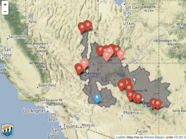
HydroData is the U.S. Bureau of Reclamation’s hydrologic database access portal. Through interactive maps and charts, users can view:
- Reservoir data (including storage, inflow, releases, elevation, and more)
- Gage data (flow, flow volume, and side inflows)
- Basin maps (including current reservoir capacity and current and historical snow and precipitation charts).
Partner(s)
Representative Image