Reclamation Information Sharing Environment (RISE)
U.S. Department of the Interior Bureau of Reclamation
The Reclamation Information Sharing Environment (RISE) is an open data system for viewing, accessing, and downloading the U.S. Bureau of Reclamation's water and water-related data. With RISE you can:
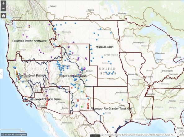
- Find Reclamation data by searching the catalog or browsing the map.
- Query time series data for specific dates, parameters, and locations, then plot or download the data
- Obtain machine-readable data through an Application Programming Interface (API) for integration into tools and analyses.
- View geospatial data on a map, download it for offline analysis, or get a web service connection to add to your own map.
Access
Reclamation Information Sharing Environment (RISE)
- Search Catalog: Search for datasets and download data files
- Map Interface: Browse data locations and interact with geospatial datasets on an interactive map
- Time Series Query: View time series plots and download machine-readable data


