U.S. Climate Division Weekly Palmer Drought Indices from nClimDiv
National Oceanic and Atmospheric Administration (NOAA) National Centers for Environmental Information (NCEI)
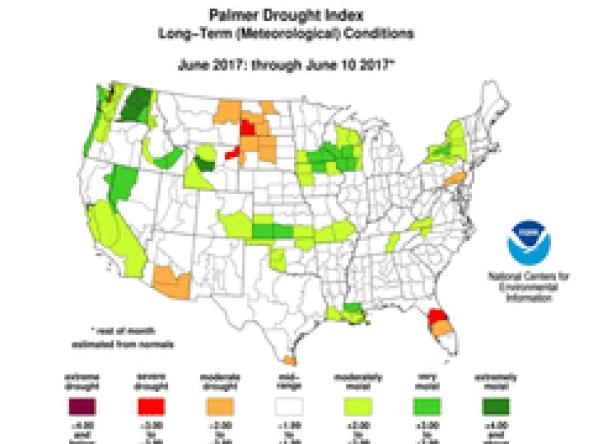
The Weekly Palmer Drought Index (PDI) and Palmer Hydrological Drought Index (PHDI) are estimations of the monthly PDI and PHDI on an operational weekly basis.
If the date of the maps is before the end of the month, then observed temperature and precipitation through the date of the map are combined with 1971-2000 normals of temperature and precipitation for the remainder of the month to create an estimate of the monthly temperature and precipitation values. These estimated monthly temperature and precipitation values are fed into the Palmer model to compute the monthly PDI and PHDI values for the date in question.
How to
How to use this site:
- Use the drop-down options to select a “Year” “Month” and “Day”
- Select “Submit” and maps will update
- Download data, available in XML/CSV/JSON, by selecting the data format beneath the maps
- Select image to enlarge it
Access
Weekly Palmer Drought Indices: view past or current weekly Palmer Indices (Palmer Drought Index or Palmer Hydological Drought Index)
Documentation
Documentation for Weekly Palmer Drought Indices:
- Heim, R.R., Jr., 2002: A review of Twentieth-Century drought indices used in the United States. Bull. Amer. Meteor. Soc., 83, 1149-1165.
- Heim, R.R., Jr., 2005: Computing the monthly Palmer Drought Index on a weekly basis: A case study comparing data estimation techniques. Geophys. Res. Lett., 32, No. 6, L06401, 18 March 2005.
- Palmer, W.C., 1965: Meteorological drought. Research Paper No. 45. U.S. Weather Bureau. [NOAA Library and Information Services Division, Washington, D.C. 20852]