USGS Water Data for the Nation
United States Geological Survey (USGS)
These pages provide access to water-resources data collected at approximately 1.5 million sites in all 50 States, the District of Columbia, Puerto Rico, the Virgin Islands, Guam, American Samoa and the Commonwealth of the Northern Mariana Islands.
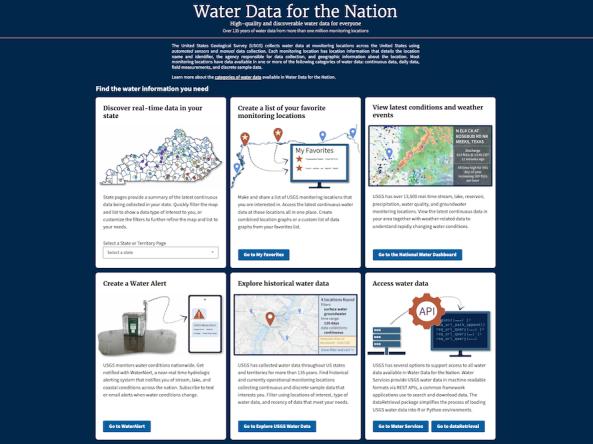
The U.S. Geological Survey (USGS) collects water data at monitoring locations across the United States using automated sensors and manual data collection. Each monitoring location has location information that details the location name and identifier, the agency responsible for data collection, and geographic information about the location. Most monitoring locations have data available in one or more of the following categories of water data: continuous data, daily data, field measurements, and discrete sample data.
How to
Read this USGS blog post to learn more about Water Data for the Nation, including how to:
Access
USGS Water Data for the Nation
Explore USGS Water Data Interactive Map
Download USGS water data:
- Water Services provides USGS water data in machine-readable formats via REST APIs, a common framework applications use to search and download data.
- The dataRetrieval package simplifies the process of loading USGS water data into R or Python environments.
Documentation