U.S. Geological Survey

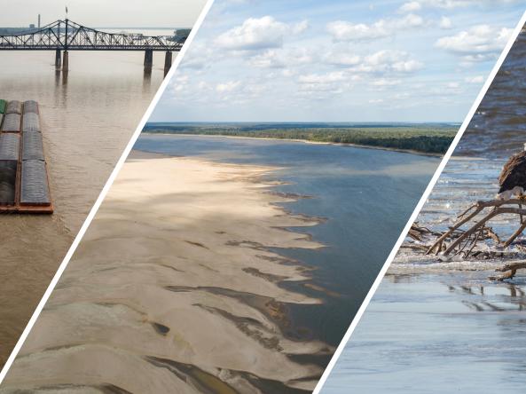
The CSI is a drought index tool that uses salinity data to characterize saline (drought) and freshwater (wet) conditions in coastal surface waters.
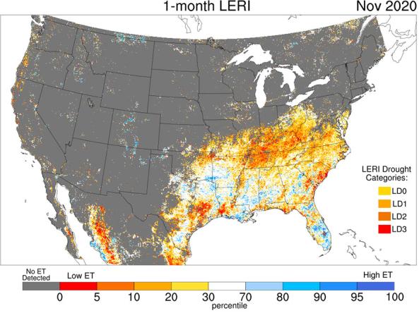
The Landscape Evaporative Response Index (LERI) is an experimental drought monitoring and early warning guidance tool that measures the anomaly in the actual evapotranspiration (ETa) from the
The National Groundwater Monitoring Network (NGWMN) is a compilation of selected groundwater monitoring wells from federal, state, and local groundwater monitoring networks across the nation.
The National Water Dashboard is an interactive map viewer that shows provisional real-time water data from more than 13,000 USGS observation stations in context with weather-related data
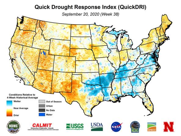
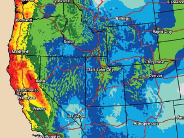
Quick Drought Response Index (QuickDRI): a geospatial tool that characterizes the intensification of short-term drought condition patterns on a weekly basis across the continental United States (CO
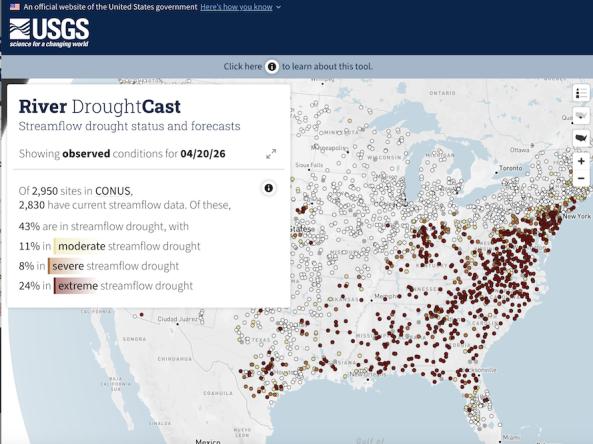
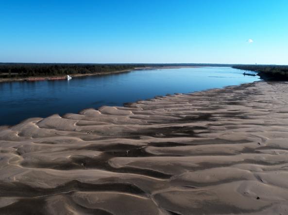
River DroughtCast is an interactive online tool that delivers current streamflow drought conditions and weekly forecasts of streamflow drought at approximately 3,000 USGS streamgages with mor
An R workspace with functions comprising a non-linear baseflow separation model, and a complete set of files to run the model in a compressed file including a script that will demonstrate how to ru
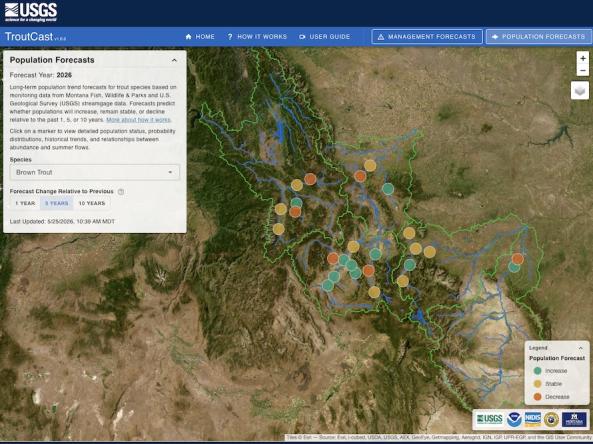
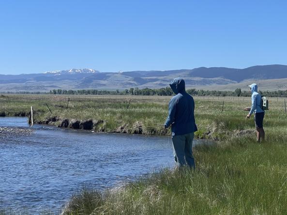
TroutCast is an interactive tool that helps users explore the projected impacts of drought on trout across Montana’s renowned blue-ribbon rivers.
From 2018-2026, the research-based website NationalSoilMoisture.com provided high-resolution gridded soil moisture products derived from in situ soil moisture measurements, Natural Re
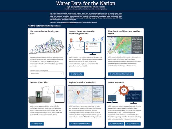
USGS provides access to over 135 years of high-quality and discoverable water data collected at more than 1 million monitoring locations across the United States and territories.
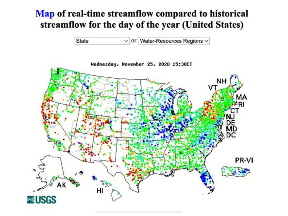
WaterWatch is a U.S. Geological Survey (USGS) World Wide Web site that displays maps, graphs, and tables describing real-time, recent, and past streamflow conditions for the United States.
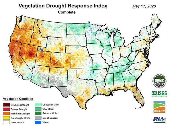
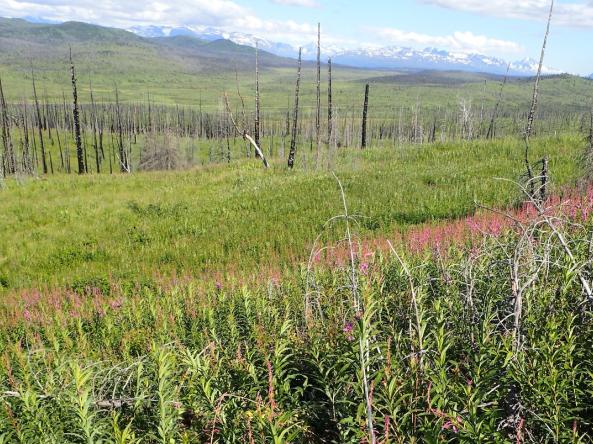
VegDRI: a weekly depiction of vegetation stress across the contiguous United States.
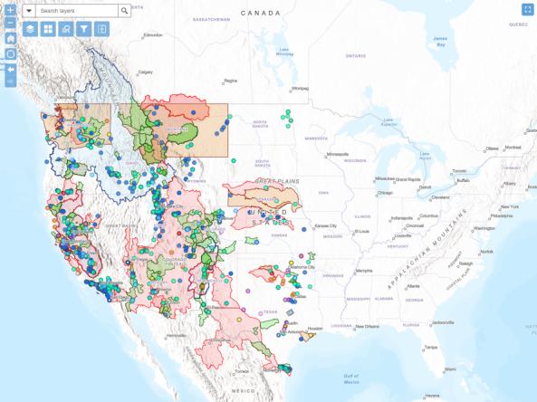
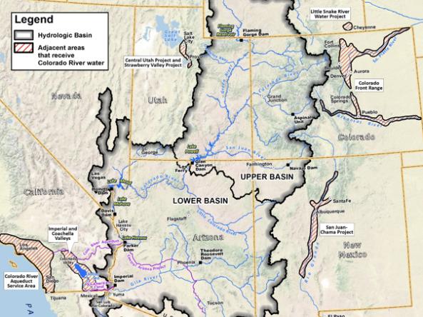
The WaterSMART Data Visualization Tool is an interactive map that allows users to explore Bureau of Reclamation WaterSMART projects funded since 2010.