Building a Mississippi River Basin Drought & Water Dashboard

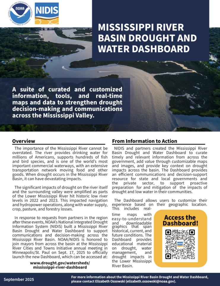
Drought is a common, natural occurrence across the Mississippi River Basin. The significant impacts of drought on the river itself and the surrounding valley were amplified in the past few years as parts of the Lower Mississippi River hit historic low river levels in 2022 and again in 2023. This impacted navigation and hydropower operations, along with crop, pasture, and forestry losses in the Mississippi River Valley. An added challenge in recent years has been the tendency to transition from drought, to flood, and back to drought, within short time spans, sometimes within a matter of months.
In response to these challenges, NOAA’s National Integrated Drought Information System (NIDIS) worked with information providers and users across the basin to launch the Mississippi River Basin Drought and Water Dashboard. This online platform, hosted on the U.S. Drought Portal (Drought.gov), coordinates and integrates timely drought and river conditions from across the federal government to support drought early warning, while allowing users to customize their experience based on their geographic location. This includes real-time maps with easy to understand and downloadable graphics that span historical, current, and future conditions. The Dashboard also provides an educational overview of drought and water management, as well as drought impacts, in the Lower Mississippi River Basin.
NIDIS partnered with the U.S. Drought Portal team at NOAA’s National Centers for Environmental Information to build this resource, in close collaboration with NOAA’s National Weather Service, the U.S. Army Corps of Engineers, the U.S. Coast Guard, the U.S. Geological Survey, the Mississippi River Cities and Towns Initiative, America’s Watershed Partnership, state and local government agencies, and industry organizations.
For more information, please contact Meredith Muth (meredith.f.muth@noaa.gov).
Research Snapshot
Meredith Muth, NOAA's National Integrated Drought Information System (NIDIS)
Molly Woloszyn and Kelsey Satalino Eigsti, Cooperative Institute for Research in Environmental Sciences (CIRES) and NOAA/NIDIS; Elliot Wickham, Cooperative Institute for Research to Operations in Hydrology (CIROH) and NOAA/NIDIS
What to expect from this research
- An interactive Mississippi River Basin Drought & Water Dashboard, including:
- Timely drought and river conditions, with interactive maps that automatically update with the latest information,
- The ability to view conditions for the entire Mississippi River Basin or a sub-basin (HUC2).
- The ability to customize and download high-quality map images for easy sharing in briefings, newsletters, and other drought communications.
- Key information on the impacts of drought and low water on the Lower Mississippi River, providing context for current and forecast conditions.
- A guided tooltip tour to help users get started with the Dashboard. Just click the "Tour the Dashboard" button.


