Logo

Related Data & Maps
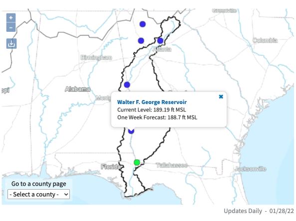
The ACF River Basin Drought and Water Dashboard is a web-based application that allows decision makers to view real-time information on the ACF River Basin all in one place.
File Format
images
csv
json
xml
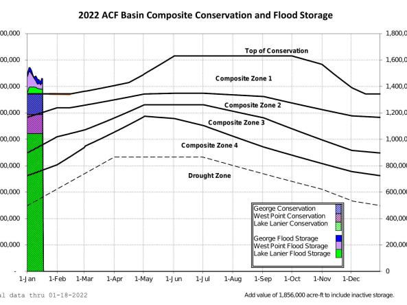
The US Army Corps of Engineers provides current, forecasted, and historical project data for the five federally operated reservoirs in the ACF River Basin.
Period of Record
Current Conditions, Forecasts
File Format
images
pdf
text (ascii)
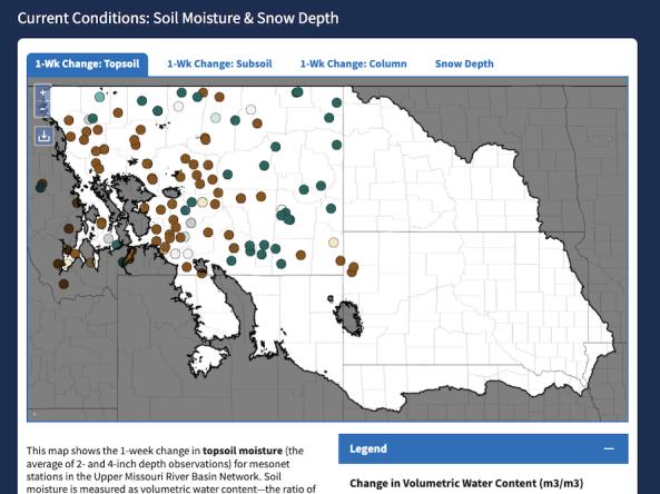
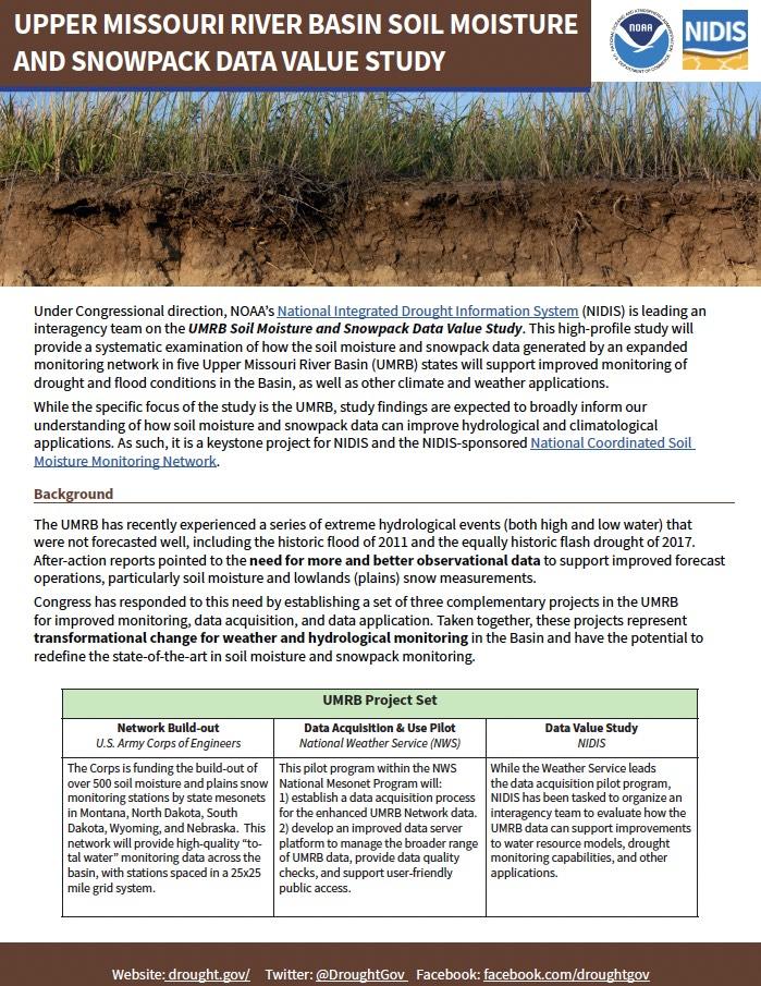
The Upper Missouri River Basin Soil Moisture and Snowpack Dashboard displays interactive maps of station-based soil moisture and snowpack data from the five state mesonets in the Upper Missou
Period of Record
2023–Present
File Format
images
Related Events
Nov
4
2025
Nov
19
2024
Nov
15
2023
Nov
14
2023
Nov
9
2022
Related Webinar Recaps
Related Drought Status Updates
September 18, 2025
May 15, 2025
December 19, 2024
March 6, 2025
April 24, 2025
June 26, 2025
Related News
Site Section
News & Events
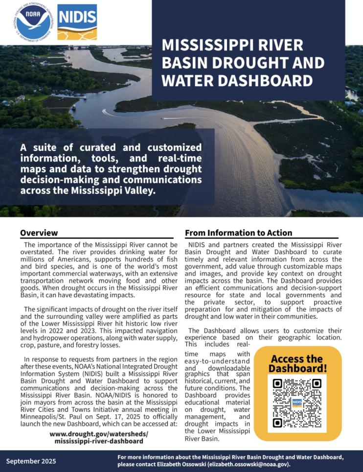
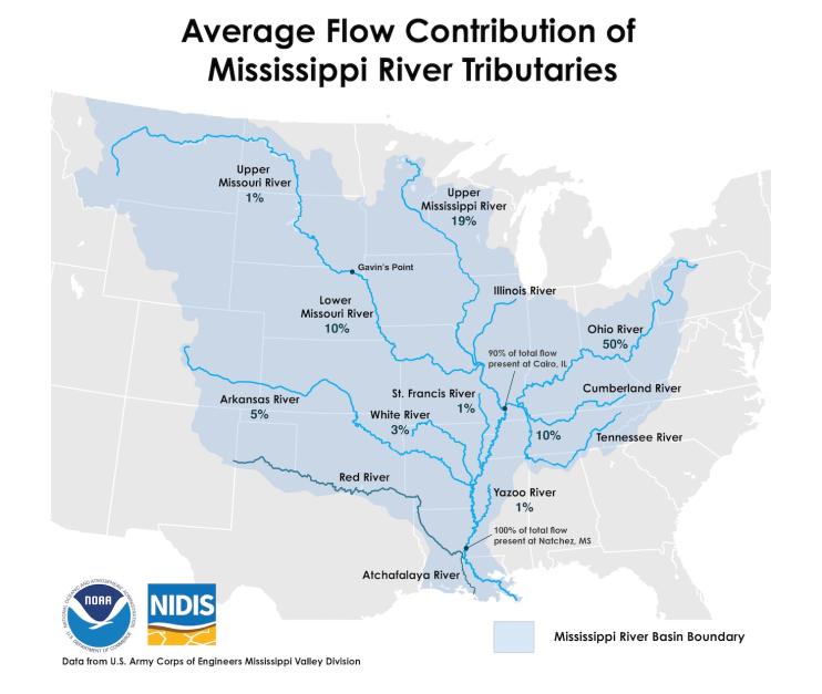
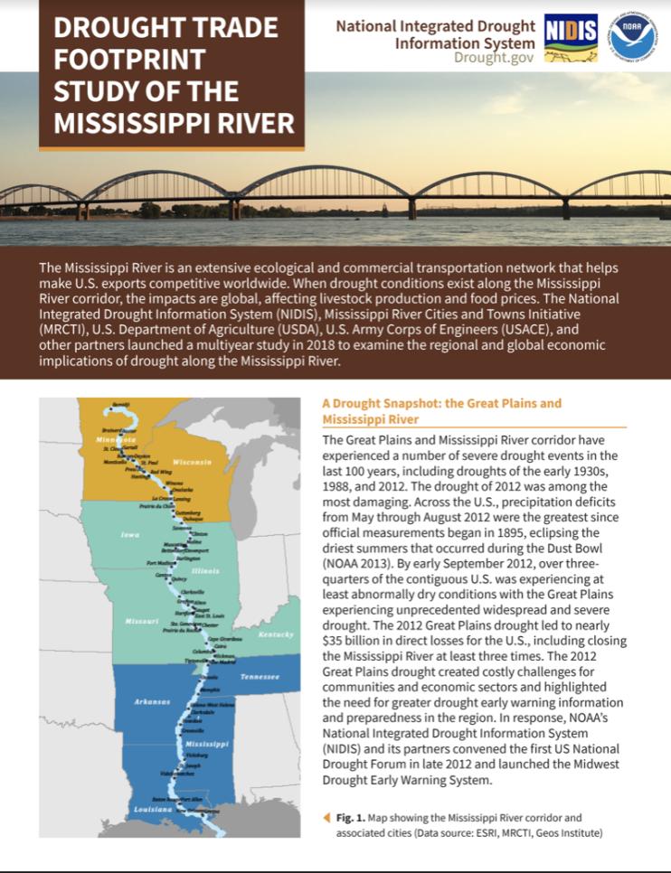
The Mississippi River provides drinking water for millions of Americans, supports hundreds of fish and bird species, and is one of the world’s most important commercial waterways, with an extensive transportation network moving food and other goods across the nation and the world. When drought occurs in the Mississippi River Basin, it can have devastating impacts. Actionable, user-
Site Section
News & Events
On August 25, 2022, Marina Skumanich, Program Specialist with NIDIS/National Coordinated Soil Moisture Monitoring Network, took part in a ribbon cutting ceremony to celebrate the expansion of the Mesonet at SD State, South Dakota's live weather network, as part of the Upper Missouri River Basin Soil Moisture and Plains Snow Build-Out project. This project, led by the U.S. Army Corps of
Site Section
News & Events
The Apalachicola, Chattahoochee, and Flint (ACF) Rivers, along with the Apalachicola Bay, link the people and natural systems of Alabama, Florida, and Georgia. Balancing the water needs between three states and various sectors creates complex water management challenges, which are further intensified during times of drought.
In response to a request by regional stakeholders, and in close
Site Section
News & Events
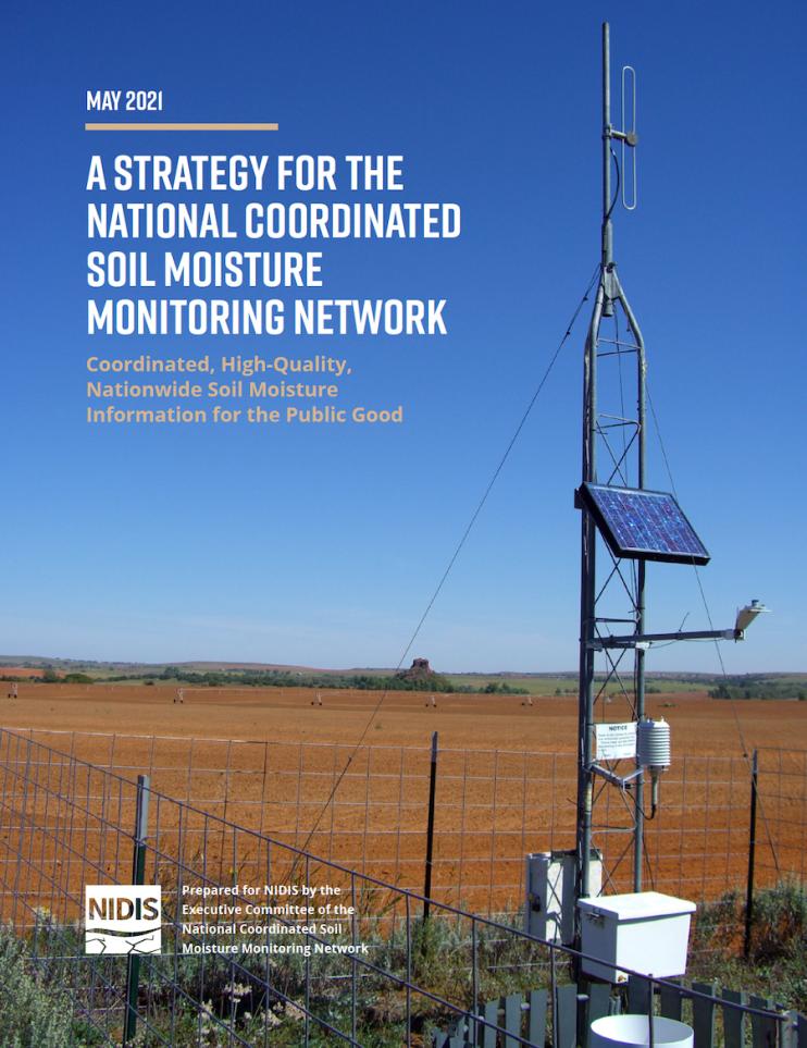
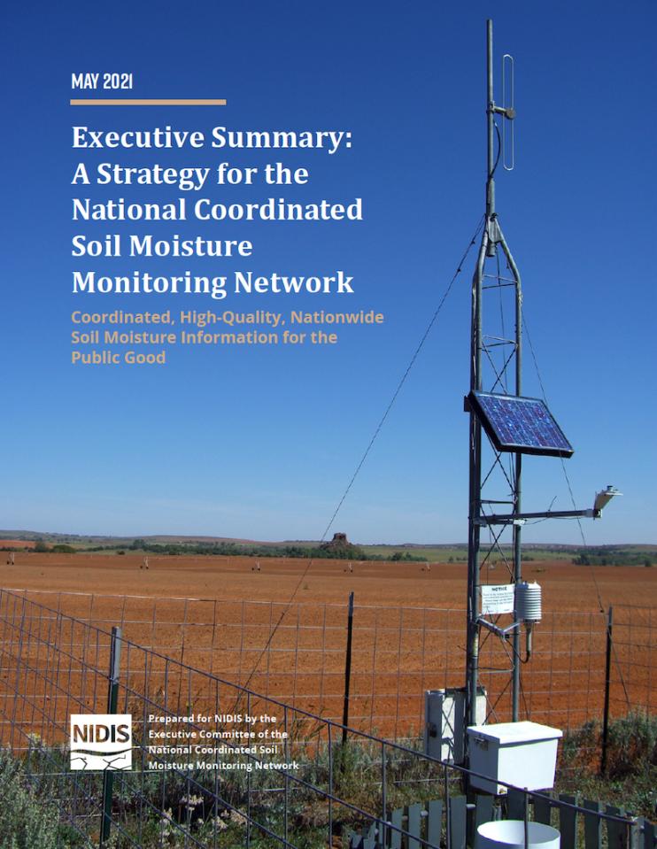
The National Integrated Drought Information System (NIDIS) is pleased to release A Strategy for the National Coordinated Soil Moisture Monitoring Network: Coordinated, High-Quality, Nationwide Soil Moisture Information for the Public Good (also known as the “NCSMMN Strategy”). Developed in part to fulfill the requirements of the NIDIS Reauthorization Act of 2018 (P.L. 115-423
Site Section
News & Events
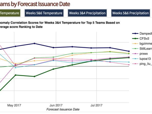
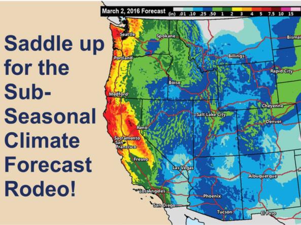
Kicked off in March 2017, the Sub-Seasonal Climate Forecast Rodeo comprised of a year-long, real-time forecasting competition. The Bureau of Reclamation sponsored the competition in partnership with the National Oceanic and Atmospheric Administration (NOAA), U.S. Geological Survey, U.S. Army Corps of Engineers, and California Department of Water Resources.
Competition Results
-- Click
Site Section
News & Events
With approximately one third of the Sub-Seasonal Climate Forecast Rodeo under their belts, team standings are tightening and the seasons are changing. This means top honors in each of the four categories are very much up for grabs, and that cool-season forecasts will play a big role in determining which teams are well positioned on the leader board heading into the spring home stretch
Site Section
News & Events
About the Rodeo
The Sub-Seasonal Climate Forecast Rodeo is a year-long, real-time forecasting competition, focused on western U.S. temperature and precipitation for weeks 3&4 and weeks 5&6. The Bureau of Reclamation is sponsoring the competition in partnership with NOAA, USGS, and the U.S. Army Corps of Engineers. Contestants submit forecasts every other week, and these are
Related Documents
Document Date
September 2025
Document Date
April 2025
Document Date
May 2023
Document Date
May 2022
Document Date
June 2021
Document Date
June 2021
Document Date
October 2019
Document Date
March 2017
Document Date
May 2015
Related Research


