U.S. flag

An official website of the United States government

The U.S. government is closed. This site will not be updated; however, NOAA websites and social media channels necessary to protect lives and property will be maintained. To learn more, visit commerce.gov.

For the latest forecasts and critical weather information, visit weather.gov.
DATA & MAPS

Select categories to browse data

Looking to Download Data? The Drought.gov team reformats data from multiple partners into web- and GIS-ready formats, which we use throughout Drought.gov. These data are free for all to download.
Search Results(44)

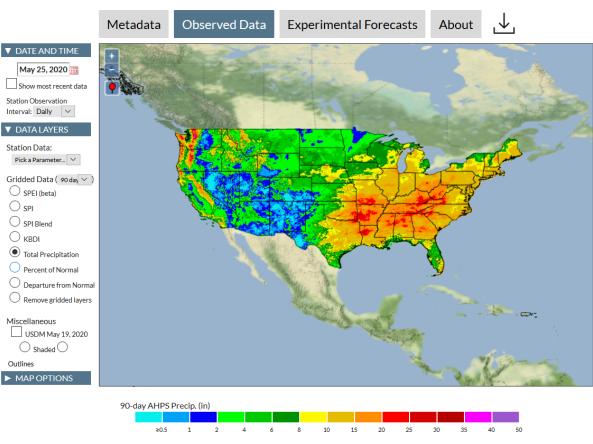
The Integrated Water Portal is a map-driven data exploration and visualization tool that brings together water data from several agencies and allows users to quickly explore regional and local water conditions, focused mostly on surface and near surface supplies.

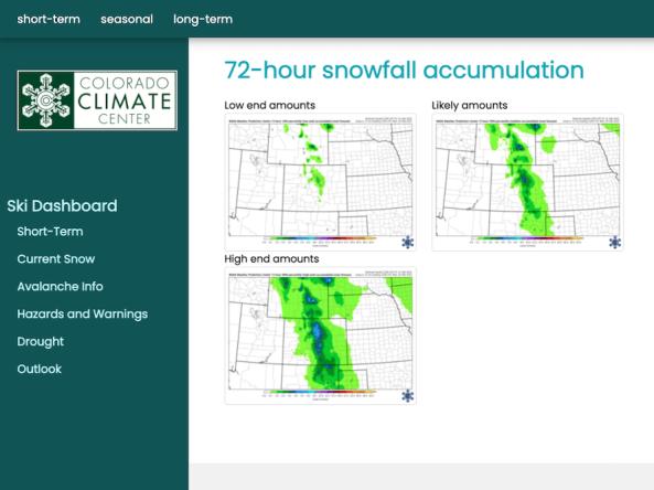
The Intermountain West Ski Dashboard was created as a resource for decision makers within the ski industry in the Intermountain West (Arizona, Colorado, New Mexico, Utah, and Wyoming). 

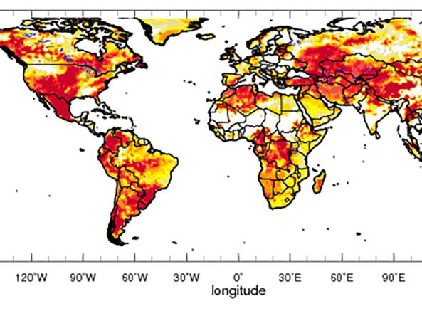
Global drought prediction and analysis tools produced by IRI in collaboration with NOAA CPC, and the University of Maine.


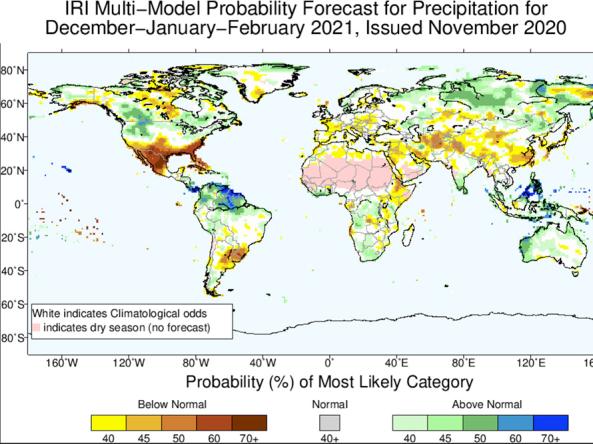
Worldwide predictions for temperature and precipitation from the International Research Institute (IRI) for Climate and Society at Columbia University.