An official website of the United States government
Here’s how you know
The .gov means it’s official.
Federal government websites often end in .gov or .mil. Before sharing sensitive information, make sure you’re on a federal government site.
The site is secure.
The
https://
ensures that you are connecting to the official website and that any information you provide is encrypted and transmitted securely.
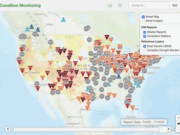
This condition monitoring map is a tool intended to depict local, community-level conditions and how recent weather and climate events have affected those communities.
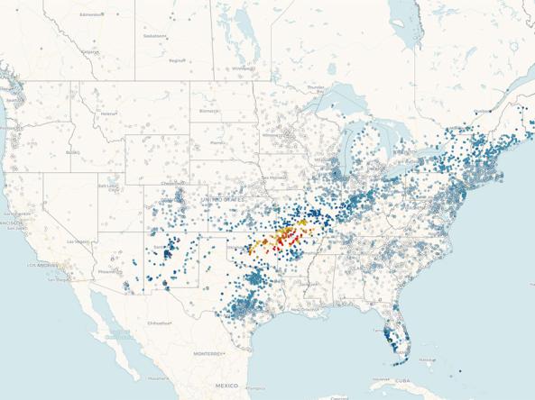
Precipitation data from CoCoRaHS: a non-profit, community-based network of volunteers of all ages and backgrounds working together to measure and map precipitation (rain, hail, and snow) across the U.S.
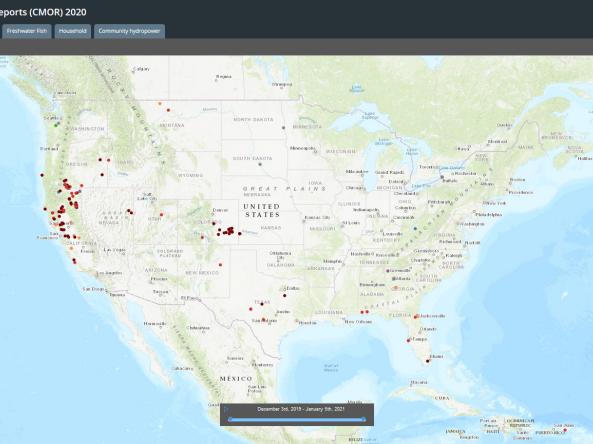
Condition Monitoring Observer Reports on Drought (CMOR-Drought) is a tool that allows citizen scientists to submit observation reports relating to drought, which are presented in a map that can be used to view and access submitted information and attachments.
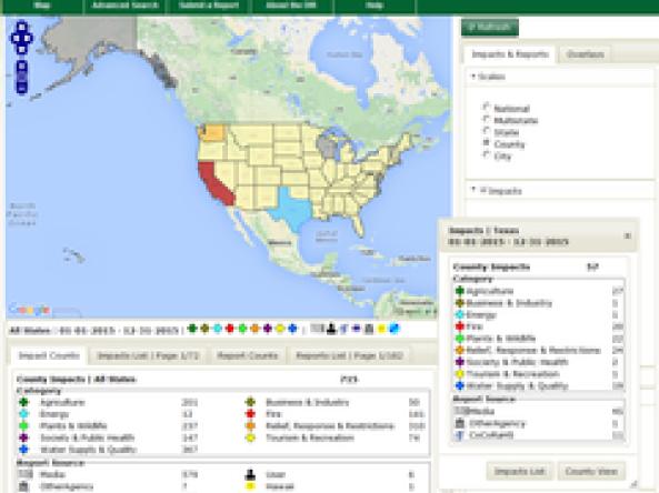
Drought Impacts Reporter (DIR): an interactive database of drought impacts in the U.S., by location, data, type, and cost built from stakeholder, government, media and other reports.