U.S. flag

An official website of the United States government

DATA & MAPS

Select categories to browse data

Looking to Download Data? The Drought.gov team reformats data from multiple partners into web- and GIS-ready formats, which we use throughout Drought.gov. These data are free for all to download.
Search Results(189)

WaterSense is a voluntary partnership program sponsored by EPA that provides resources on water-efficient products, new homes, and programs that meet EPA’s criteria for efficiency & performance.


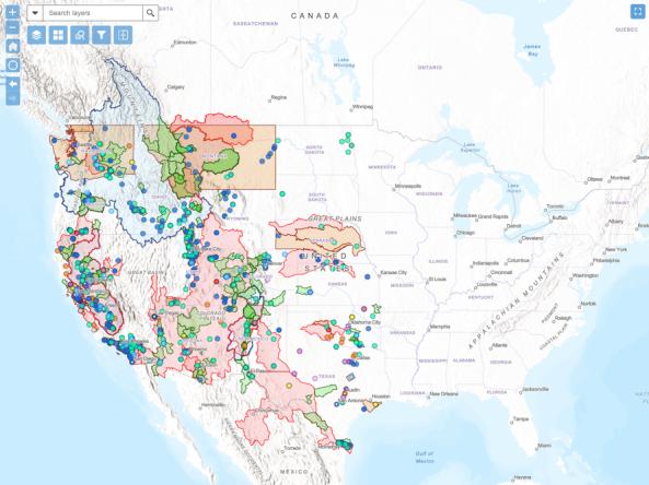
The WaterSMART Data Visualization Tool is an interactive map that allows users to explore Bureau of Reclamation WaterSMART projects funded since 2010.

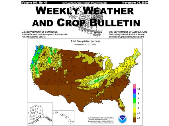
The Weekly Weather and Crop Bulletin (WWCB) provides a vital source of information on weather, climate, and agricultural developments worldwide, along with maps and charts appropriate for the season.

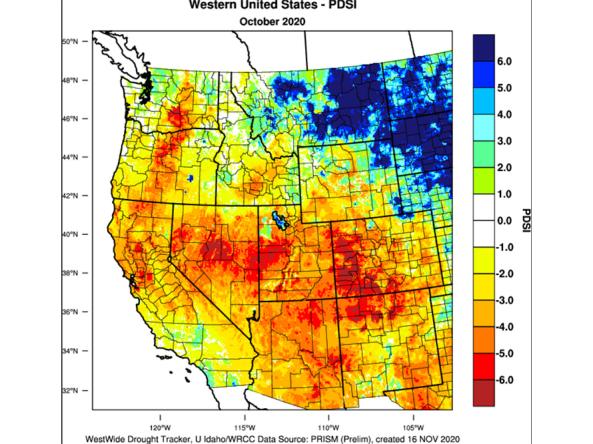
The WestWide Drought Tracker (WWDT) provides fine-scale drought monitoring and climate products for the Western United States.