U.S. flag

An official website of the United States government

DATA & MAPS

Select categories to browse data

Looking to Download Data? The Drought.gov team reformats data from multiple partners into web- and GIS-ready formats, which we use throughout Drought.gov. These data are free for all to download.
Search Results(189)

The National Environmental Public Health Tracking Network brings together data on environments and hazards, health effects, and population health from national, state, and city sources.

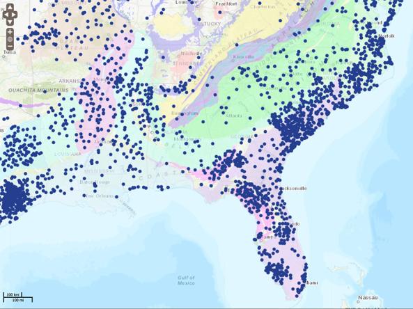
The National Groundwater Monitoring Network (NGWMN) is a compilation of selected groundwater monitoring wells from federal, state, and local groundwater monitoring networks across the nation. The NGWMN Data Portal provides access to groundwater data from multiple, dispersed databases in an interactive map. The portal contains current and historical data, including water levels, water quality, lithology, and well construction. 

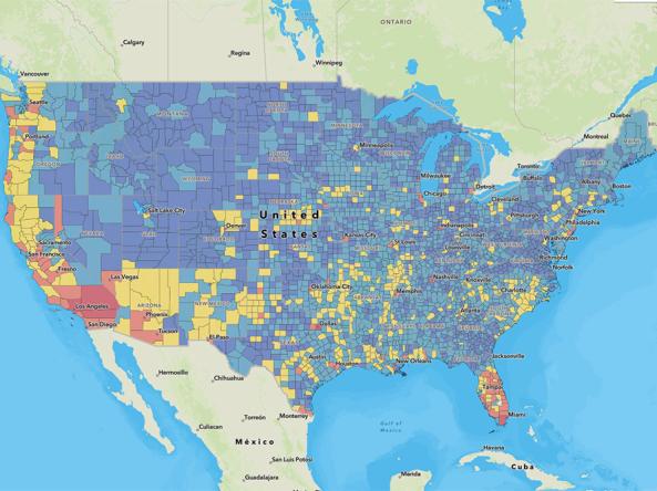
The National Risk Index is an online tool that aims to illustrate the communities most at risk of natural hazards, including drought. It strives to provide a holistic view of community-level risk nationwide by combining multiple hazards with socioeconomic and built environment factors.

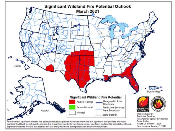
The National Significant Wildland Fire Potential Outlook is intended as a decision support tool for wildland fire managers, providing an assessment of current weather and fuels conditions and how these will evolve in the next four months.