U.S. flag

An official website of the United States government

DATA & MAPS

Select categories to browse data

Looking to Download Data? The Drought.gov team reformats data from multiple partners into web- and GIS-ready formats, which we use throughout Drought.gov. These data are free for all to download.
Search Results(189)

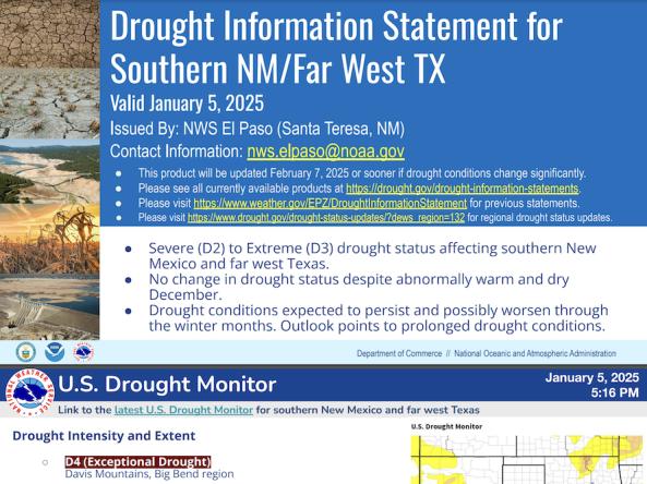
National Weather Service drought information statements provide up-to-date reports on the current drought situation for a Weather Forecast Office’s county warning and forecast area. These statements are text-based products that summarize recent weather and hydrologic conditions, discuss local drought impacts, and provide a local drought outlook.

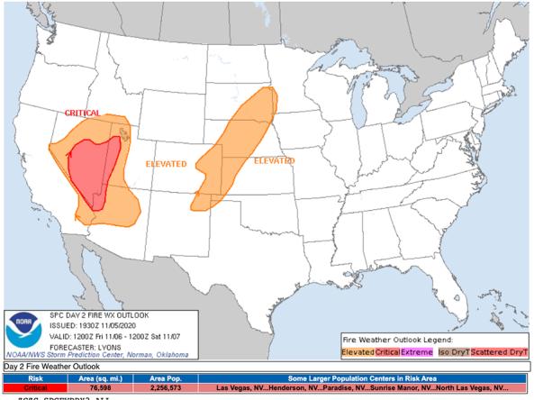
The National Weather Service's Fire Weather Outlooks are intended to delineate areas of the continental U.S. where pre-existing fuel conditions, combined with forecast weather conditions, will result in a significant threat for the ignition and/or spread of wildfires.

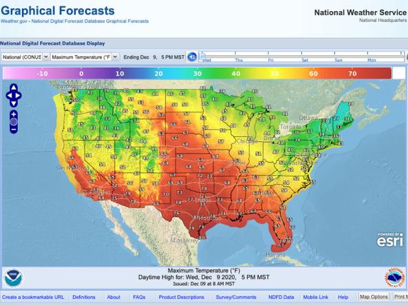
NWS Graphical Forecast is an interactive map that displays current and forecasted meteorological products including: Temperature, Precipitation, Probability of Precipitation, Weather, Hazards, Dew Point, Relative Humidity, Wind Speed, Wind Gusts, Wind Direction, and Sky Cover.

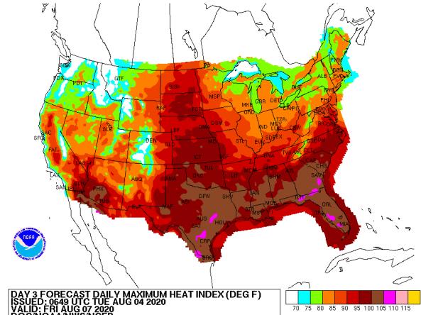
The National Weather Service (NWS) issues heat index forecasts for days 3–7, including daily maximum heat index, daily mean heat index, and daily minimum heat index forecasts.