U.S. flag

An official website of the United States government

DATA & MAPS

Select categories to browse data

Looking to Download Data? The Drought.gov team reformats data from multiple partners into web- and GIS-ready formats, which we use throughout Drought.gov. These data are free for all to download.
Search Results(189)

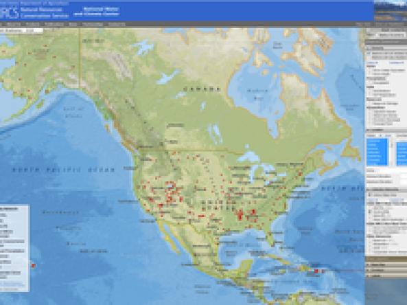
The Soil Climate Analysis Network (SCAN) provides soil and climate data to support natural resource assessments and conservation activities, focusing on agricultural areas of the U.S.

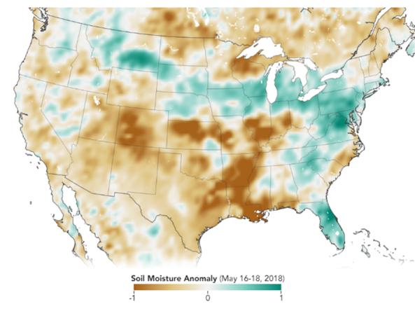
The Soil Moisture Active Passive (SMAP) mission is an orbiting observatory that measures the amount of water in the top 5 cm of soil everywhere on the Earth’s surface every 3 days.

An R workspace with functions comprising a non-linear baseflow separation model, and a complete set of files to run the model in a compressed file including a script that will demonstrate how to run the model.

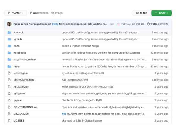
This is a developmental/forked version of code that was originally developed by NIDIS/NCEI. This project contains Python implementations of various climate index algorithms which provide a geographical and temporal picture of the severity of precipitation and temperature anomalies useful for climate monitoring and research. The most updated version is currently being maintained and developed by independent scientific programmer James Adams on his Github account, which includes feedback and contributions from active users worldwide.