Search Results
(1165)
Document Preview
Document Date
October 6, 2016
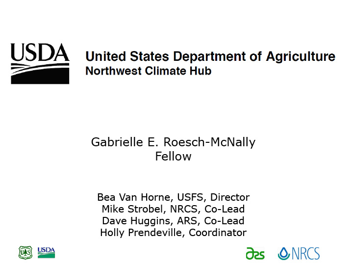
Document Description
Defining a USDA Climate Hub, with details of the Northwest Climate Hub; regional climate change impacts to agriculture, contacts, more.
Document Preview
Document Date
October 6, 2016
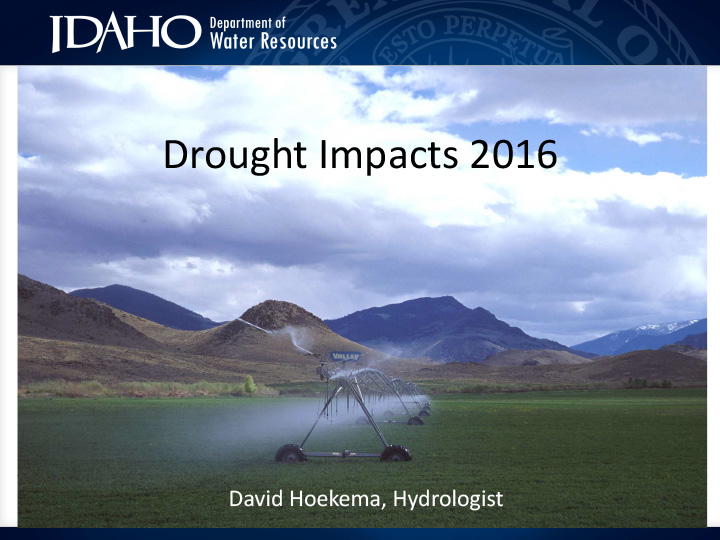
Document Description
Summary of drought impacts in Idaho for various time scales, including effects on/from snow pack, soil moisture, temperature, precipitation, stream flow, reservoir levels.
Document Preview
Document Preview
Document Date
October 6, 2016
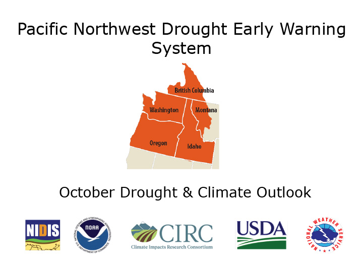
Document Description
Introduction to webinar with agenda; information about drought early warning, the Pacific Northwest DEWS and NIDIS.
Document Preview
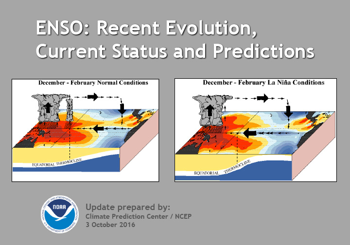
Document Date
October 3, 2016
Document Description
Summary: ENSO Alert System Status as of 10/6/2016: Not Active
ENSO-neutral conditions are present.* Equatorial sea surface temperatures (SST) are near or below average in the east-central and eastern Pacific Ocean. ENSO-neutral conditions are slightly favored (between 55-60%) during the upcoming Northern Hemisphere fall and winter 2016-17.* Stay tuned! The ENSO forecasts and conditions have been borderline between cool neutral and weak La Niña.Document Preview
Document Date
September 26, 2016
Document Description
Document Preview
Document Date
September 26, 2016
Document Description
Document Preview
Document Preview
Document Date
September 26, 2016
Document Description
Pacific Northwest Drought Early Warning System Drought Indicators & Triggers Workshop agenda from Sept. 26-27, 2016, in Boise Idaho.
Document Preview
Document Date
September 26, 2016
Document Description
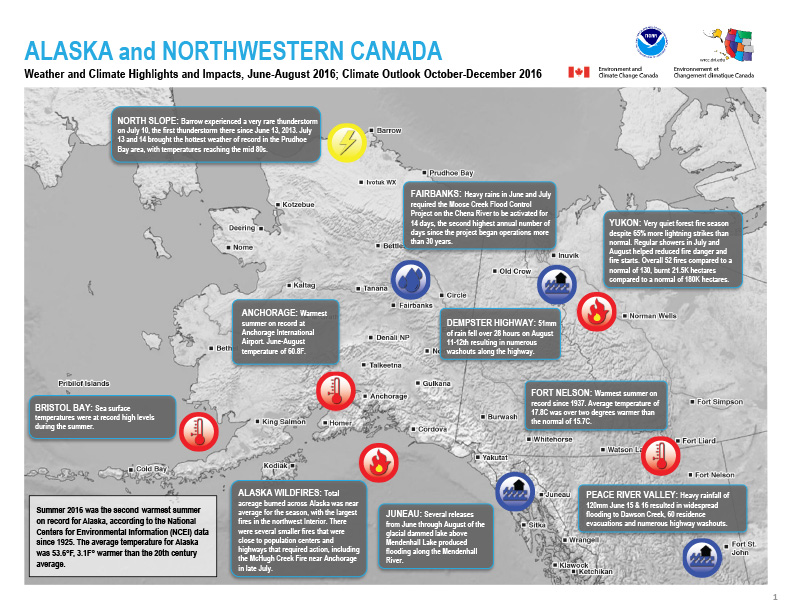
Quarterly Climate Impacts and Outlook for Alaska and Northwestern Canada for June – August 2016. Dated September 2016.