Topofire Soil Moisture Modeling to Support Drought Management and Develop an Updated KBDI for Wildfire Management
The objective of this project is to upgrade the Topofire model, a soil water balance model that includes topography, solar radiation, and snow, among other features. The research team will:
- Generate a near real time, high-resolution (250m grid) soil moisture dataset for the coterminous United States
- Develop a revised, more physically accurate version of the Keetch-Byram Drought Index (a real-time fire potential index dataset) called "KBDI-ET," that can be incorporated into the Wildland Fire Assessment System managed by the U.S. Forest Service.
These high-resolution gridded datasets will provide critical new tools to support both drought management and wildfire danger assessment.
For more information, please contact Elise Osenga (elise.osenga@noaa.gov).
Research Snapshot
What to expect from this research
Daily, near real-time, high-resolution (250m) gridded soil moisture estimates and KBDI-ET estimates (to support wildfire danger assessments).
To learn more about this and other related research, watch a recording of the November 2022 soil moisture seminar, Soil Moisture and Wildfire Webinar: Improving Fire Danger Rating Systems.
Related Data & Maps
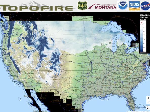
Topofire is a topographically resolved wildfire danger and drought monitoring system for the contiguous U.S.