Soil Climate Analysis Network (SCAN)
U.S. Department of Agriculture's Natural Resources Conservation Service (NRCS)
The Soil Climate Analysis Network (SCAN) began as a soil moisture/soil temperature pilot project of the Natural Resources Conservation Service in 1991. The system is designed to provide data to support natural resource assessments and conservation activities. The SCAN system focuses on agricultural areas of the U.S. and is composed of over 200 stations. A typical SCAN site monitors soil moisture content at several depths, air temperature, relative humidity, solar radiation, wind speed and direction, liquid precipitation, and barometric pressure.
The Soil Climate Analysis Network Data and Products page provides access to data and reports derived from SCAN sites located across the United States, Puerto Rico, and the Virgin Islands. SCAN sites are automated, remote sites which collect soil moisture and soil temperature data along with precipitation, wind, and solar radiation data. These data are used for the management and prediction of climatic issues affecting our natural resources.
Soil temperature and soil moisture measurements are observed at the depths of 5, 10, 20, 50, and 100 cm.
How to
What can I do with these data?
- Check current and past soil moisture and soil temperature. Stations also provide air temperature, relative humidity, solar radiation, wind speed and direction, liquid precipitation, and barometric pressure.
How do I use the site?
- Data Report: Select from a range of listed reports on recent and current soil moisture and soil temperature conditions across the network.
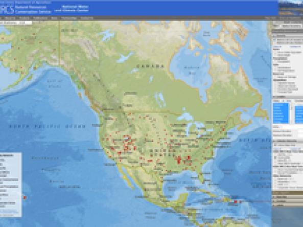
- NRCS Interactive Mapper: Use the right-hand control panel to select soil moisture or other values, reporting units, date, location, datasets, and other parameters.
- SCAN Decision Tools: Select a station, and then click on any of the decision tools for more analysis.
Access
- Data Reports: Recent and current soil moisture and soil temperature reports and maps.
- NRCS Interactive Mapper: Interactive map display of a range of NRCS datasets, including SCAN, SNOTEL, and SnoLite.
- SCAN Decision Tools: Provides enhanced products based on SCAN station data, including a water deficit calculator and weather calculator.