Natural Resources Conservation Service
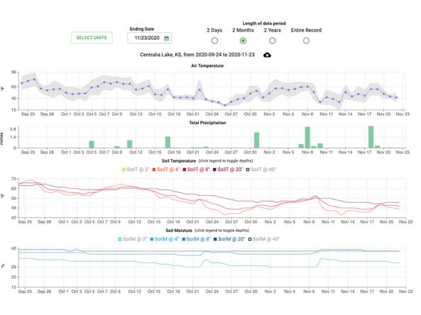
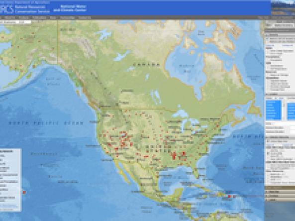
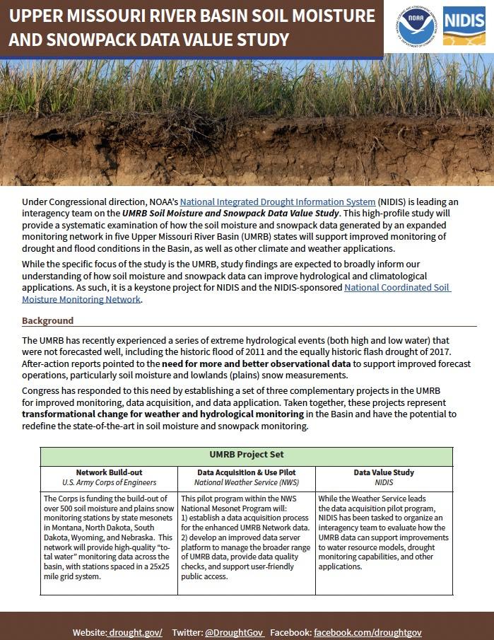
This site provides decision tools and resources using data from weather stations in the SCAN and Tribal SCAN networks. The Soil Climate Analysis Network, also known as SCAN, supports natural r
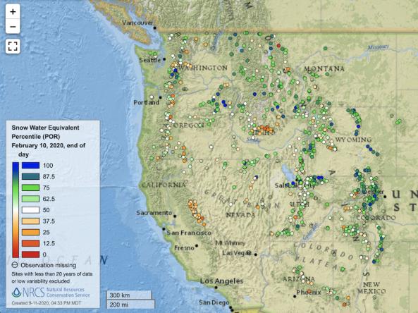
Point maps and interactive maps of snow water equivalent, snow depth, and snow density from the Natural Resources Conservation Service (NRCS) Snow Telemetry (SNOTEL).
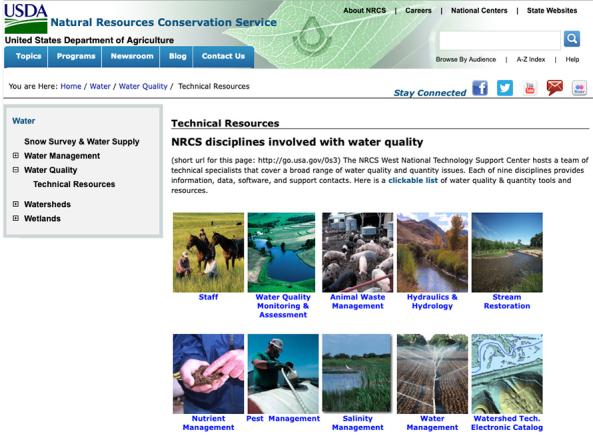
A resource for information about the USDA Natural Resource Conservation Service's work relating to water quality and quantity.
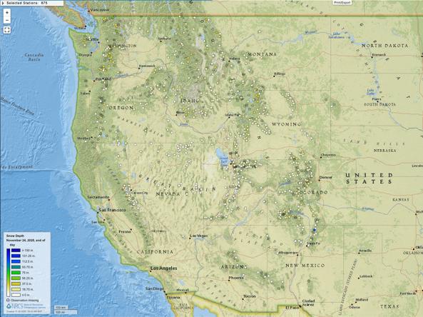
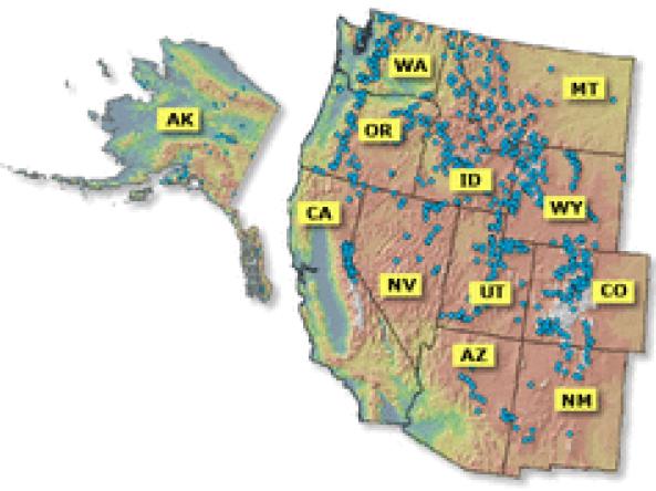
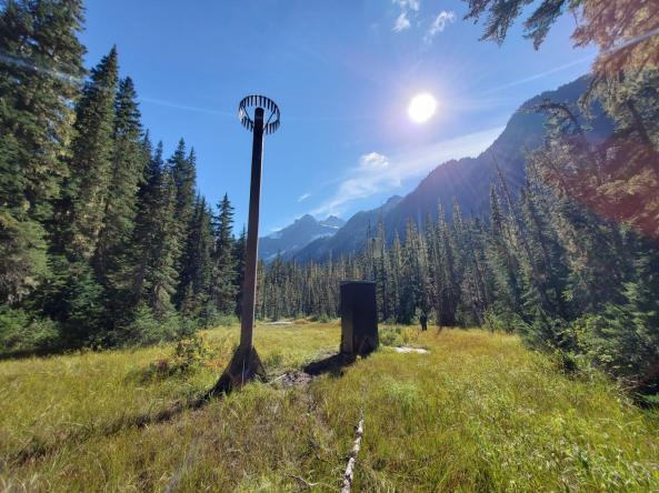
Snow depth products produced by the SNOTEL network of over 800 automated data collection sites located in remote, high-elevation mountain watersheds in the western U.S.
The Soil Climate Analysis Network (SCAN) provides soil and climate data to support natural resource assessments and conservation activities, focusing on agricultural areas of the U.S.
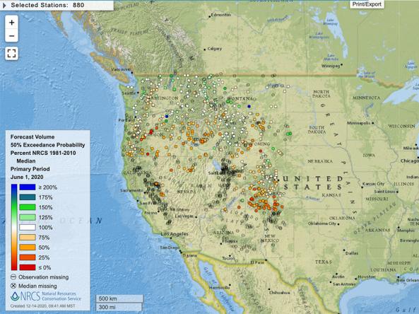
Reports and data on streamflow, forecasts, reservoir storage and other hydrologic information for the Western United States.
Monthly streamflow maps comparing percent of monthly average flow to their respective 1981-2010 average. Available in spring and summer for the western U.S.


