NIDIS-Supported Climate Engine showcased at NASA-DRI Navajo Nation Workshop
 In an era of increasing wealth of earth observations, approaches for quickly accessing, analyzing and visualizing environmental data to better inform decision making at relevant scales is needed. Climate Engine enables users to utilize on-demand cloud computing and visualization to analyze and interact with climate and earth observations for decision support related to drought, water use, agriculture, wildfire, and ecology.
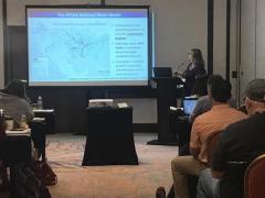
Climate Engine has been supported by NIDIS since 2016, including in-person trainings on the tool. On April 9-10 in Flagstaff, AZ, the Climate Engine team from the Desert Research Institute co-hosted an in-person workshop in collaboration with NASA’s Western Water Applications Office for Navajo Nation Natural Resource Management to help them use Climate Engine, satellite data, and other tools for land management. Lectures and hands-on exercises guided participants on how to visualize, interpret, and analyze climate and satellite data in ArcGIS and in Climate Engine to come away with methods for turning data information into decisions.
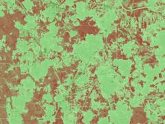
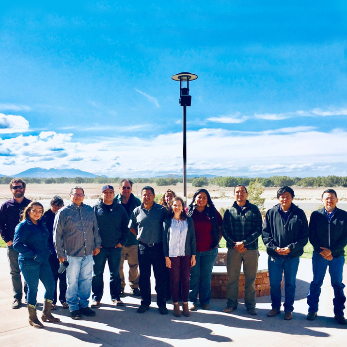
Participants conducted exercises on their specific land management issues, including identifying overgrazing, tree mortality, restoration, and analyzing place-based and regional drought severity across the Navajo Nation. The training concluded with a feedback session where participants provided suggestions for tool improvements. The thirteen participants included employees of multiple Navajo Nation Natural Resource Management departments, such as Water Resources, Agriculture, Forestry, and Fish and Wildlife, federal agencies such as the USDA, and academics from Northern Arizona University and from the American Indian Higher Education Consortium.