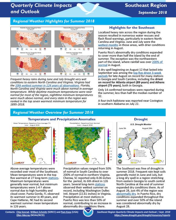
Quarterly Climate Impacts and Outlook for the Southeast Region for June – August 2018. Dated September 2018.
Above-average temperatures were recorded over most of the Southeast. Mean temperatures were in the top five warmest at 27 long-term stations. Maximum temperatures were generally near normal, but minimum temperatures were 1-4 F above normal due to high humidity and cloud cover. Precipitation values ranged from 50% of normal in South Carolina to over 200% of normal in northern Virginia. Several long-term stations observed their wettest summer on record.
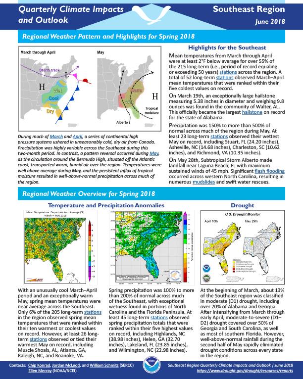
Quarterly Climate Impacts and Outlook for the Southeast Region for March – May 2018. Dated June 2018.
Mean temperatures from March through April were at least 2°F below average for over 55% of the 215 long-term (i.e., period of record equaling or exceeding 50 years) stations across the region. A total of 52 long-term stations observed March–April mean temperatures that were ranked within their five coldest values on record.
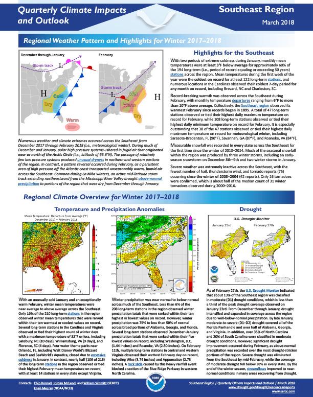
Quarterly Climate Impacts and Outlook for the Southeast Region for December 2017 – February 2018. Dated March 2018.
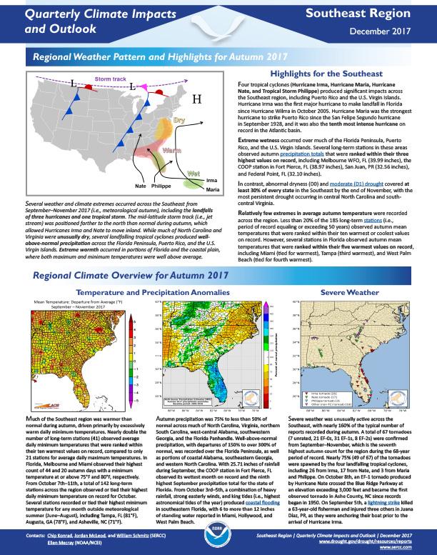
Quarterly Climate Impacts and Outlook for the Southeast Region for September – November 2017. Dated December 2017.
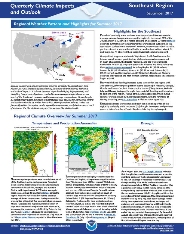
Quarterly Climate Impacts and Outlook for the Southeast Region for June – August 2017. Dated September 2017.
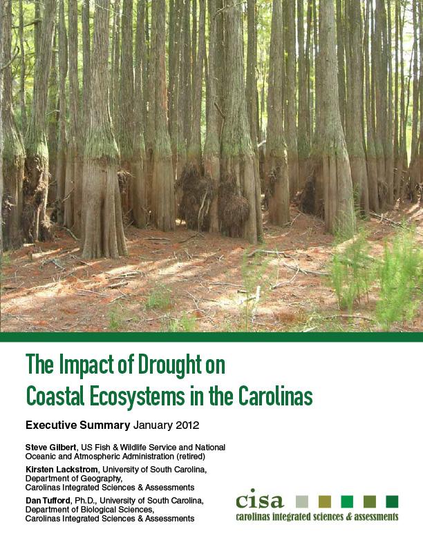
This State of Knowledge Report provides a synthesis and analysis of the peer-reviewed literature regarding drought impacts on coastal ecosystems in the Carolinas. Its objective is to expand current, limited understanding of drought impacts on coastal ecosystems, to identify critical gaps, to inform future research efforts, and to suggest measures to facilitate drought adaptation for ecosystems. The report centers on biological, chemical, and physical impacts and is not meant to address social impacts.
The NIDIS Carolinas Drought Early Warning System Scoping Workshop was held on July 31 – August 1, 2012, in Wilmington, North Carolina. Participants represented a diverse group of organizations and interests. The objectives of this workshop were to identify important issues of concern for the coastal region and to establish and refine priorities for a pilot project.
The Coastal Carolinas DEWS Strategic Plan outlines priority tasks and activities that build upon existing stakeholder networks to improve drought early warning capacity and long-term resilience in the coastal areas of North and South Carolina. This is a “living document” to which additional actions and partners may be added as needs and opportunities arise. The Plan includes a list of current partners, outcomes, and key milestones for present activities as well as indicating areas where NIDIS is seeking additional partners or working to finalize details of some activities.
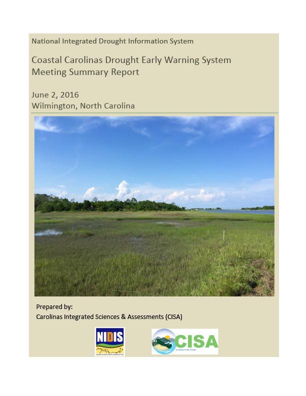
NIDIS sponsored a planning meeting on June 2, 2016, in Wilmington, North Carolina to gather stakeholder input on the development of a Coastal Carolinas DEWS Strategic Plan. The meeting convened partners to:
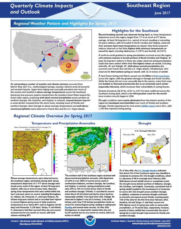
Quarterly Climate Impacts and Outlook for the Southeast Region for March – May 2017. Dated June 2017.


