For the latest forecasts and critical weather information, visit weather.gov.
Quarterly Climate Impacts and Outlook for the Southeast Region for September – November 2020. Dated December 2020.
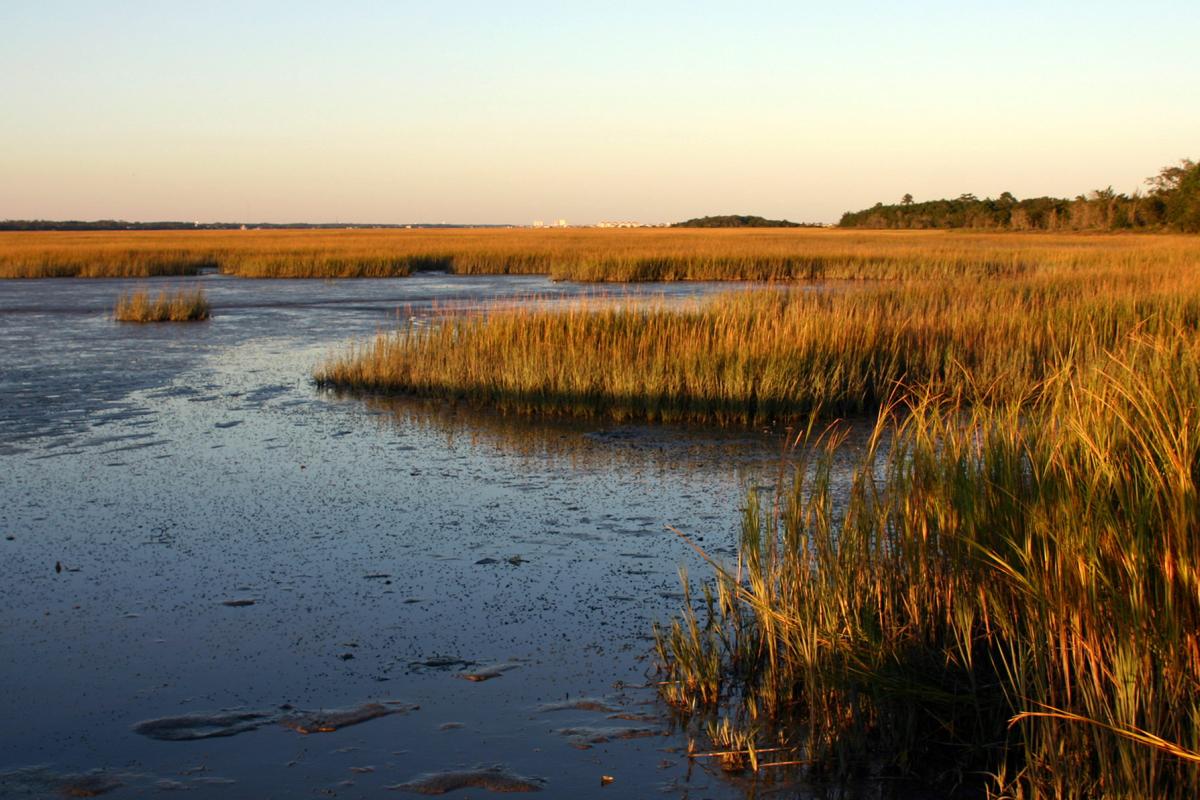
Well-above-average temperatures were observed across the Southeast, driven primarily by excessively warm daily minimum temperatures. Precipitation was above average across much of the region. Several long-term stations observed their wettest autumn on record.
The ACF DEWS Strategic Plan (Plan) outlines priority tasks and activities across the region to build drought early warning capacity and resilience. It includes a list of current partners, outcomes, and key milestones. This Plan is a “living document” to which additional actions and partners may be added as needed.
This climate conditions and outlook update was originally sent via email to the Southeast DEWS email list.
Quarterly Climate Impacts and Outlook for the Southeast Region for June – August 2020. Dated September 2020.
Above-average temperatures were recorded over Virginia and Florida, with near-average temperatures reported over the rest of the Southeast. A few stations observed their top 5 wettest summers on record, including Staunton, VA and Hickory, NC. In contrast, parts of Florida and Georgia only had 70 percent of normal summer precipitation.
Quarterly Climate Impacts and Outlook for the Southeast Region for December 2019 – February 2020. Dated March 2020.
Above-average temperatures were recorded over most of the Southeast. Maximum temperatures were generally near normal, but minimum temperatures were 3-6 F above normal due to high humidity and cloud cover. Precipitation ranged from slightly below normal in the Florida peninsula to over 10 inches above normal in northern Alabama.
Quarterly Climate Impacts and Outlook for the Southeast Region for September – November 2019. Dated December 2019.
Above-average temperatures were recorded over most of the Southeast. Mean temperatures were in the top five warmest at 35 long-term stations. Autumn precipitation was below normal for most of the Southeast region. None of the long-term stations ranked within the top 10 wettest for the season.
Quarterly Climate Impacts and Outlook for the Southeast Region for June – August 2019. Dated September 2019.
Above-average temperatures were recorded over most of the Southeast. Summer precipitation was highly variable across the Southeast, as departures ranged from less than 75% to more than 200% of normal.
Quarterly Climate Impacts and Outlook for the Southeast Region for March – May 2019. Dated June 2019.
Above-average temperatures were recorded over most of the Southeast. Mean temperatures were 2-4 F above normal for most of the region. Spring precipitation was around 50% to 90% of normal across much of the Southeast, except in western NC, and parts of central NC and AL, where it went up to 130% of normal.