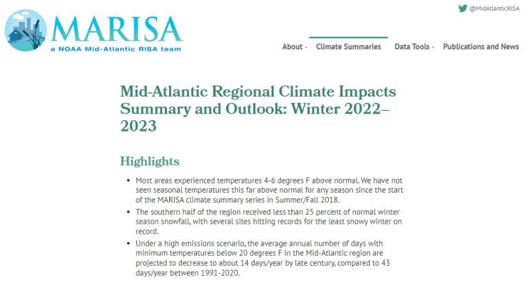
Quarterly Climate Impacts and Outlook for the Mid-Atlantic Region for December 2022–February 2023. Dated March 2023.
Most areas experienced temperatures 4–6 degrees F above normal. The southern half of the region received less than 25 percent of normal winter season snowfall, with several sites hitting records for the least snowy winter on record.
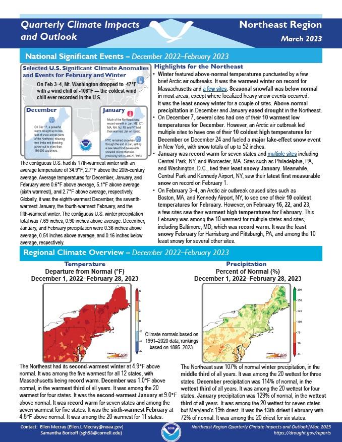
Quarterly Climate Impacts and Outlook for the Northeast Region for December 2022–February 2023. Dated March 2023.
The Northeast had its second-warmest winter at 4.9°F above normal. It was among the five warmest for all 12 states, with Massachusetts being record warm. The Northeast saw 107% of normal winter precipitation, in the middle third of all years.
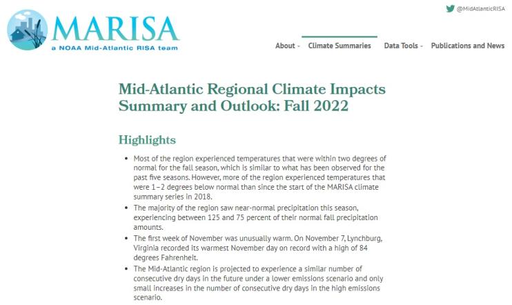
Quarterly Climate Impacts and Outlook for the Mid-Atlantic Region for September - November 2022. Dated December 2022.
Most of the region experienced temperatures that were within two degrees of normal for the fall season, which is similar to what has been observed for the past five seasons. The majority of the region saw near-normal precipitation this season, experiencing between 125 and 75 percent of their normal fall precipitation amounts.
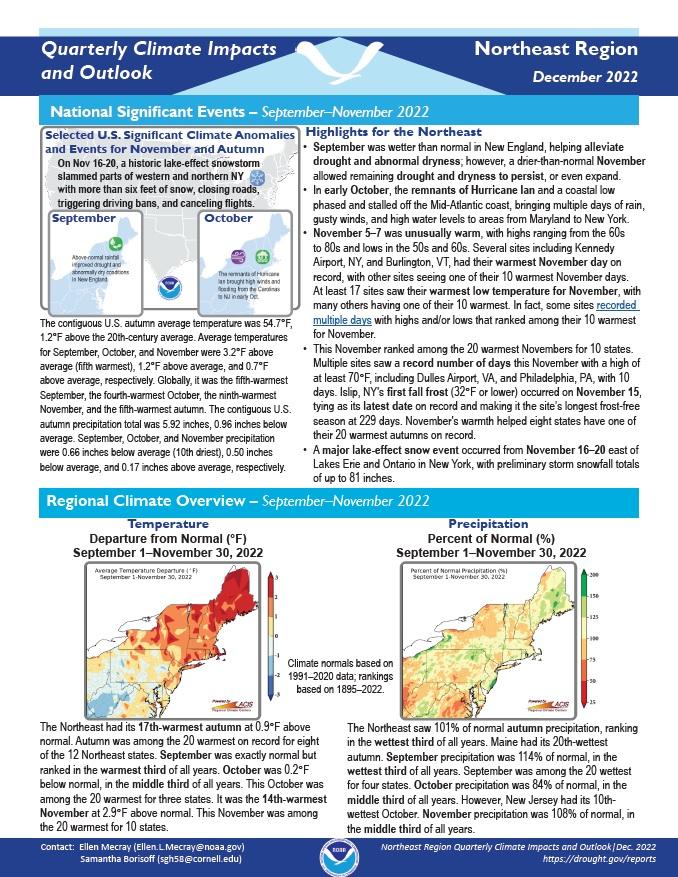
Quarterly Climate Impacts and Outlook for the Northeast Region for September–November 2022. Dated December 2022.
The Northeast had its 17th-warmest autumn at 0.9°F above normal. Autumn was among the 20 warmest on record for 8 of the 12 Northeast states. The Northeast saw 101% of normal autumn precipitation, ranking in the wettest third of all years. Maine had its 20th-wettest autumn.
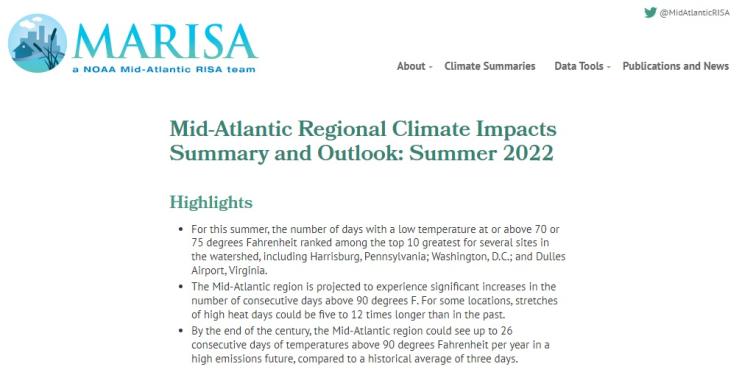
Quarterly Climate Impacts and Outlook for the Mid-Atlantic Region for June–August 2022. Dated September 2022.
Almost all of the watershed experienced temperatures within two degrees of normal, with most experiencing temperatures 0–2 degrees above normal. A few locations along the coast of Virginia, southern Maryland, central Pennsylvania, and southern New York experienced temperatures between 2 and 3 degrees above normal.
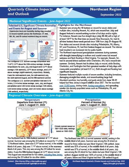
Quarterly Climate Impacts and Outlook for the Northeast Region for June–August 2022. Dated September 2022.
The Northeast had its 10th-hottest summer at 1.1°F above normal. Summer was among the 20 hottest on record for 11 of the 12 Northeast states. The Northeast saw 89% of normal summer rainfall, ranking in the middle third of all years. Summer was among the 20 driest on record for three states but was West Virginia's 10th wettest.
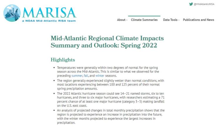
Quarterly Climate Impacts and Outlook for the Mid-Atlantic Region for March–May 2022. Dated June 2022.
Temperatures were generally within two degrees of normal for the spring season across the Mid-Atlantic. This is similar to what was observed for the preceding summer, fall, and winter seasons. The region generally experienced slightly wetter than normal conditions, with most locations experiencing between 100% and 125% of their normal spring precipitation amounts.
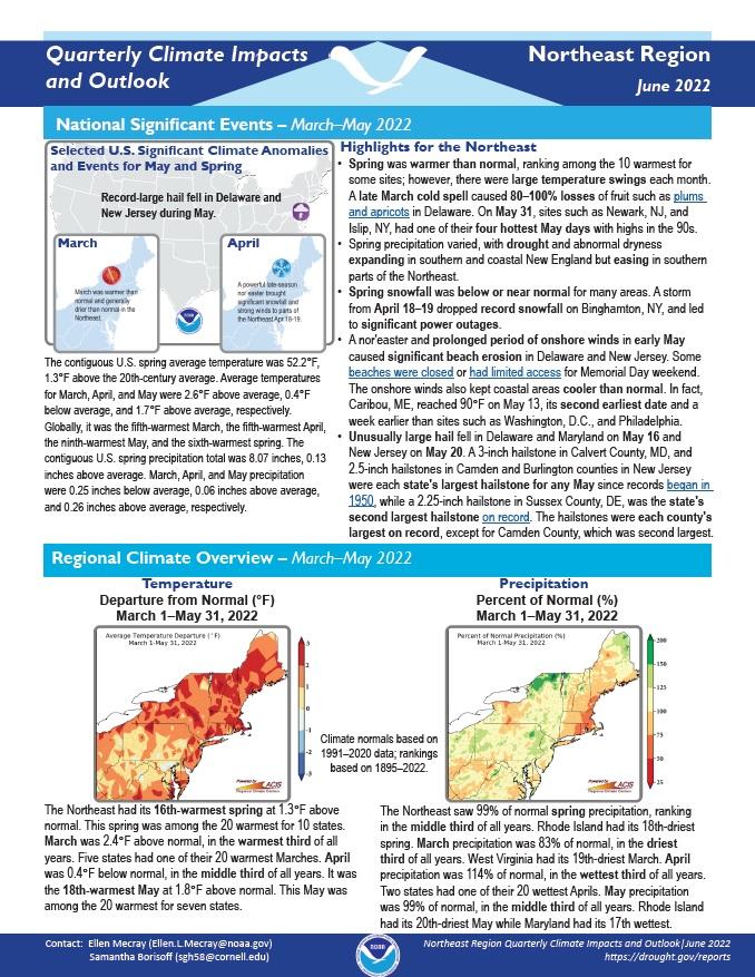
Quarterly Climate Impacts and Outlook for the Northeast Region for March–May 2022. Dated June 2022.
Spring was warmer than normal, ranking among the 10 warmest for some sites; however, there were large temperature swings each month. Spring precipitation varied, with drought and abnormal dryness expanding in southern and coastal New England but easing in southern parts of the Northeast.
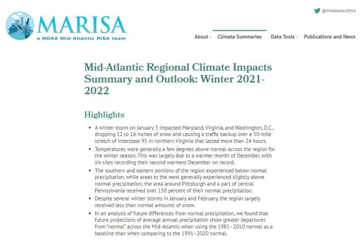
Quarterly Climate Impacts and Outlook for the Mid-Atlantic Region for December 2021 - February 2022. Dated March 2022.
Temperatures were generally a few degrees above normal across the region for the winter season. This was largely due to a warmer month of December, with six sites recording their second warmest December on record. The southern and eastern portions of the region experienced below normal precipitation, while areas to the west generally experienced slightly above normal precipitation.
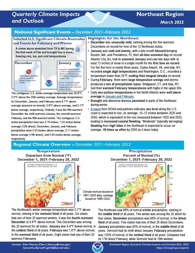
Quarterly Climate Impacts and Outlook for the Northeast Region for December 2021 - February 2022. Dated March 2022.
The Northeast's winter average temperature was 0.7°F above normal, ranking in the warmest third of all years. Six states had one of their 20 warmest winters. The Northeast saw 88% of normal winter precipitation, ranking in the middle third of all years. This winter was among the 20 driest for four states.


