Soil taxonomy; how soil moisture is inventoried in Soil Survey; interpretations of data; research; how the data is used.
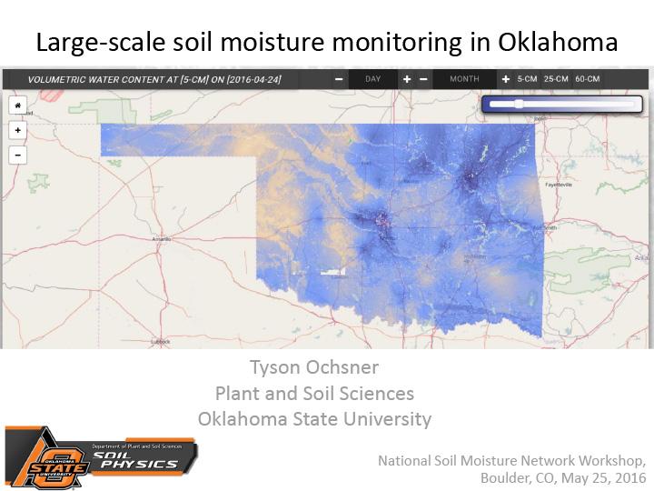
Overview of soil moisture monitoring in Oklahoma, primarily through Oklahoma Mesonet.
Welcome message for the National Soil Moisture Monitoring Network meeting.
Overview of the North American Soil Moisture Database.
Overview of NIDIS and its role in helping create a national soil moisture monitoring network.
Pilot projects with the goal of creating a map of percentile ranking of current volumetric water content (VWC) at discrete and common depths, related to 30 year record – a request posed by a U.S. Drought Monitor author – and associated challenges and opportunities.
Overview of how soil moisture monitoring fits into the NASA Land Information System (LIS) modeling suite.
Overview of USDA’s Soil Climate Analysis Network (SCAN).
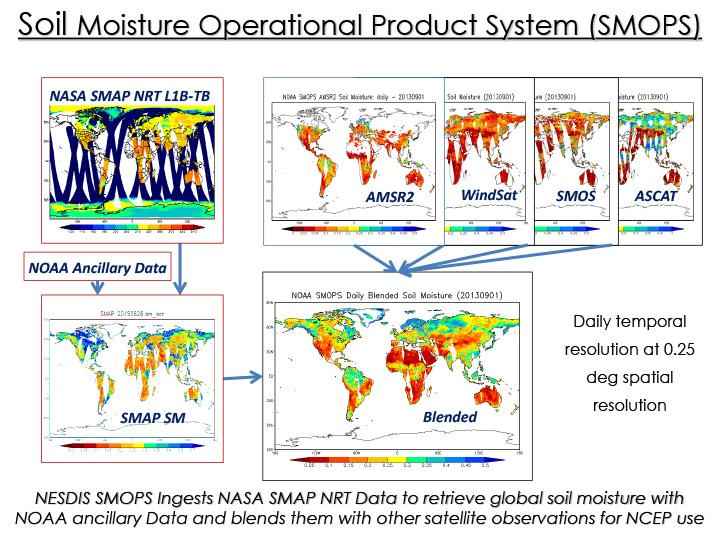
About SMOPS and ALEXI SM.
About Decagon soil moisture sensors and a vision for a national soil moisture monitoring network.


