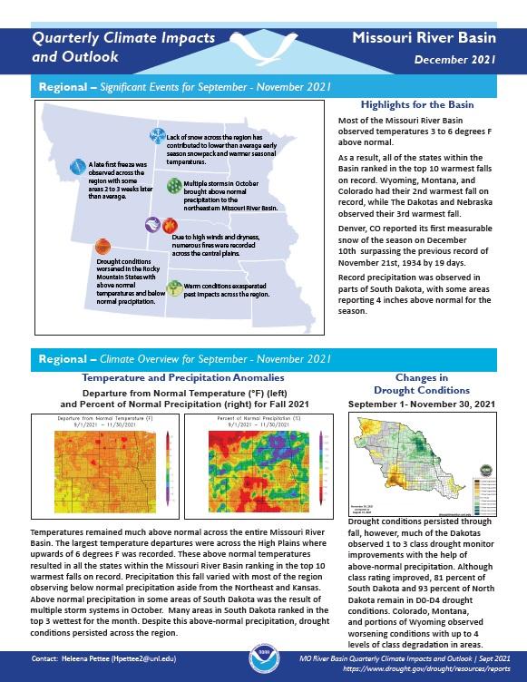
Quarterly Climate Impacts and Outlook for the Missouri River Basin September - November 2021. Dated December 2021.
Temperatures remained much above normal across the entire Missouri River Basin. These above normal temperatures resulted in all the states within the Missouri River Basin ranking in the top 10 warmest falls on record. Precipitation this fall varied with most of the region observing below normal precipitation aside from the Northeast and Kansas.
Quarterly Climate Impacts and Outlook for the Missouri River Basin June - August 2021. Dated September 2021.
Extreme heat and reduced precipitation in the region this summer had a major impact on crops, grasslands, and wildlife. Many states ranked in the top 10 warmest summers on record. Below normal precipitation was present this season for most of the region.
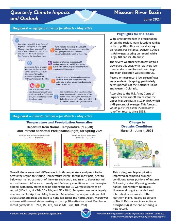
Quarterly Climate Impacts and Outlook for the Missouri River Basin March - May 2021. Dated June 2021.
There were stark differences in both temperature and precipitation across the region this spring. Temperatures were, for the most part, near to below normal across much of the west and south, and near to above normal across the east. Meanwhile, heavy precipitation fell across southern areas and little to none fell across the north.
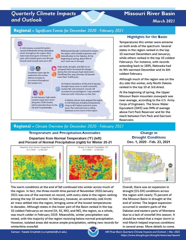
Quarterly Climate Impacts and Outlook for the Missouri River Basin December 2020 – February 2021. Dated March 2021.
Temperatures this winter were extreme on both ends of the spectrum. Several states in the region ranked in the top 10 warmest Decembers and Januarys, while others ranked in the top 10 coldest Februarys. Although much of the region was on the dry side this winter, only North Dakota ranked in the top 10 at 3rd driest.
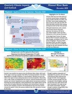
Quarterly Climate Impacts and Outlook for the Missouri River Basin September – November 2020. Dated December 2020.
Autumn 2020 was one of the driest on record for several states, including North Dakota (3rd), Colorado (9th), Nebraska (9th), Kansas (19th), and South Dakota (20th). Although temperatures were, overall, near normal, autumn had many extremes.
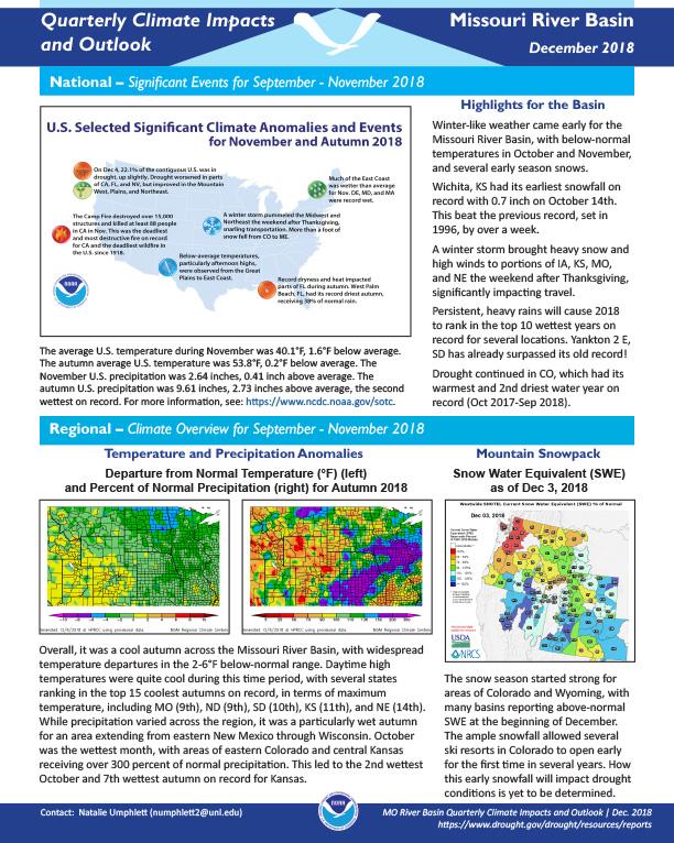
Quarterly Climate Impacts and Outlook for the Missouri River Basin September – November 2018. Dated December 2018.
Overall, it was a cool autumn across the Missouri River Basin, with widespread temperature departures in the 2-6°F below-normal range. While precipitation varied across the region, it was a particularly wet autumn for an area extending from eastern New Mexico through Wisconsin.
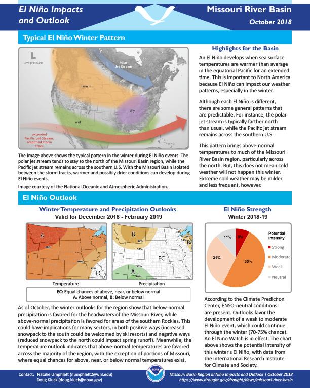
Provides a definition of El Nino; the outlook for winter temperatures and precipitation; potential winter and spring impacts; and a look back at previous El Nino winters.
NOAA’s Regional Climate Services Program created these Outlooks to inform the public about climate impacts within their respective regions. Each regional report contains easy-to-understand language, and anyone can access them through the Drought Portal at https://www.drought.gov/drought/resources/reports.
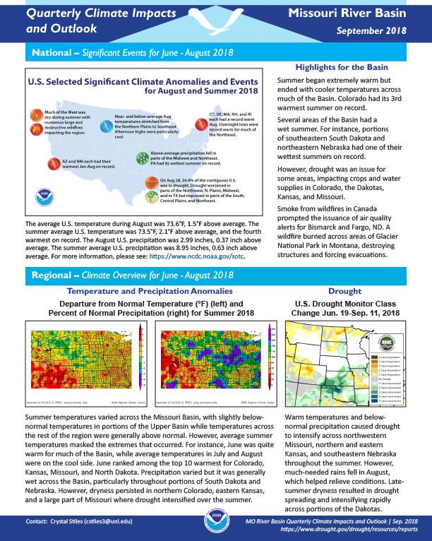
Quarterly Climate Impacts and Outlook for the Missouri River Basin June – August 2018. Dated September 2018.
Summer began extremely warm but ended with cooler temperatures across much of the Basin. Colorado had its 3rd warmest summer on record. Several areas of the Basin had a wet summer. For instance, portions of southeastern South Dakota and northeastern Nebraska had one of their wettest summers on record. However, drought was an issue for some areas, impacting crops and water supplies in Colorado, the Dakotas, Kansas, and Missouri.
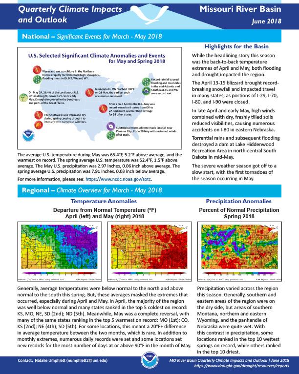
Quarterly Climate Impacts and Outlook for the Missouri River Basin March – May 2018. Dated June 2018.
While the headlining story this season was the back-to-back temperature extremes of April and May, both flooding and drought impacted the region.
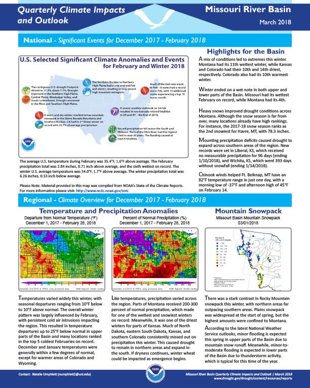
Quarterly Climate Impacts and Outlook for the Missouri River Basin December 2017 – February 2018. Dated March 2018.
A mix of conditions led to extremes this winter. Montana had its 11th wettest winter, while Kansas and Colorado had their 10th and 14th driest, respectively. Colorado also had its 10th warmest winter. Winter ended on a wet note in both upper and lower parts of the Basin. Missouri had its wettest February on record, while Montana had its 4th.


