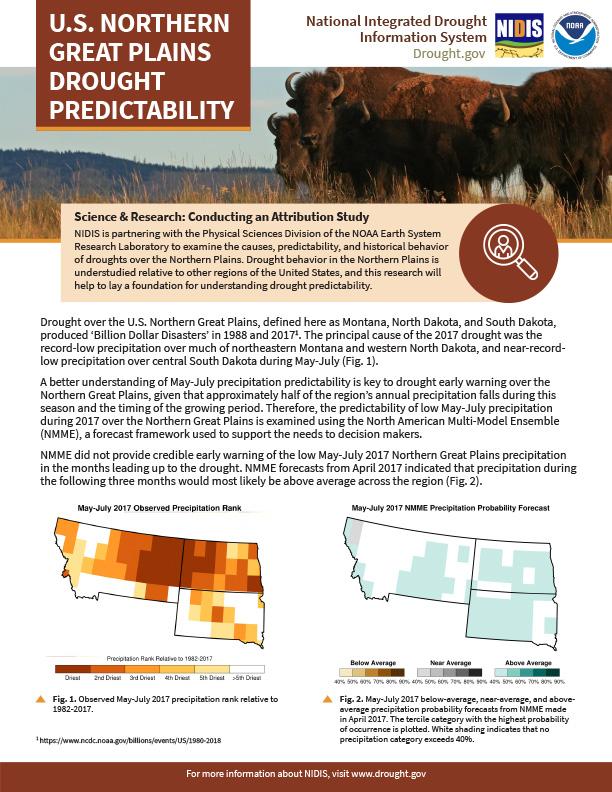
Drought over the U.S. Northern Great Plains, defined here as Montana, North Dakota, and South Dakota, produced ‘Billion Dollar Disasters’ in 1988 and 2017. The principal cause of the 2017 drought was the record-low precipitation over much of northeastern Montana and western North Dakota, and near-record-low precipitation over central South Dakota during May-July.
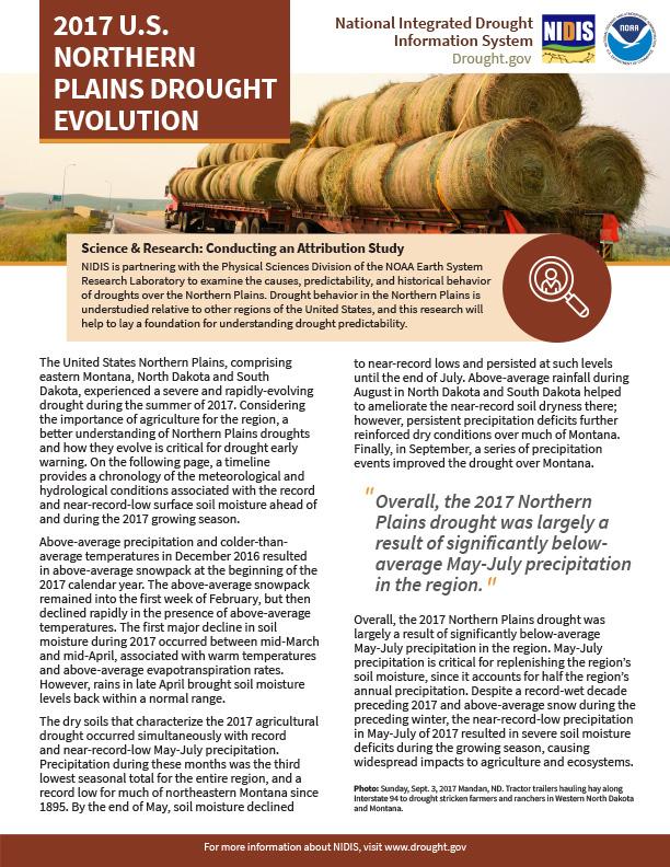
The United States Northern Plains, comprising eastern Montana, North Dakota and South Dakota, experienced a severe and rapidly-evolving drought during the summer of 2017. Considering the importance of agriculture for the region, a better understanding of Northern Plains droughts and how they evolve is critical for drought early warning. In the document, a timeline provides a chronology of the meteorological and hydrological conditions associated with the record and near-record-low surface soil moisture ahead of and during the 2017 growing season.
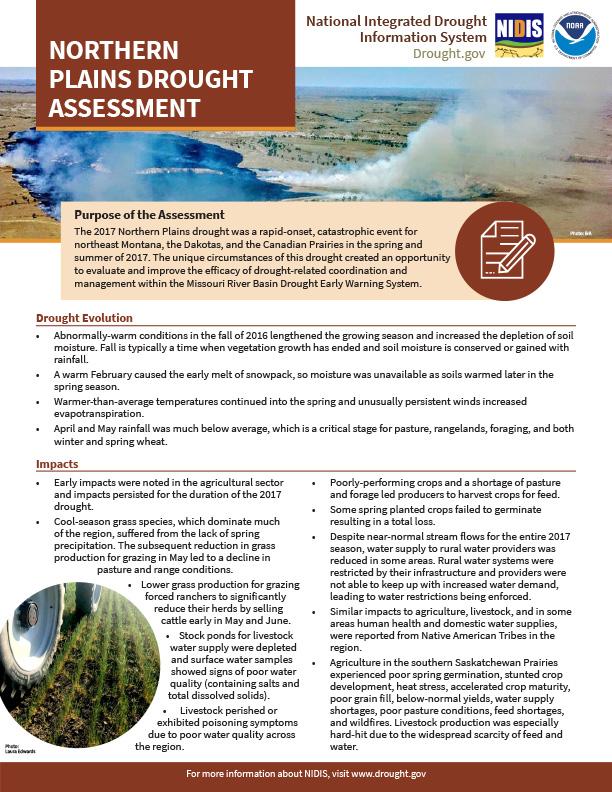
The Northern Plains drought started in the spring and summer of 2017 and sparked widespread wildfires and compromised water resources, leading to the destruction of property, livestock losses, and reduced agricultural production. These impacts were felt in South Dakota, North Dakota, Montana, by the tribes of the Northern Plains, and in the Canadian Prairies.
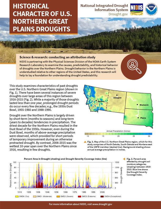
This two-pager examines the characteristics of past droughts over the U.S. Northern Great Plains region. NIDIS is partnering with the Physical Sciences Division of the NOAA Earth System Research Laboratory to examine the causes, predictability, and historical behavior of droughts over the Northern Plains. Drought behavior in the Northern Plains is understudied relative to other regions of the United States, and this research will help to lay a foundation for understanding drought predictability.
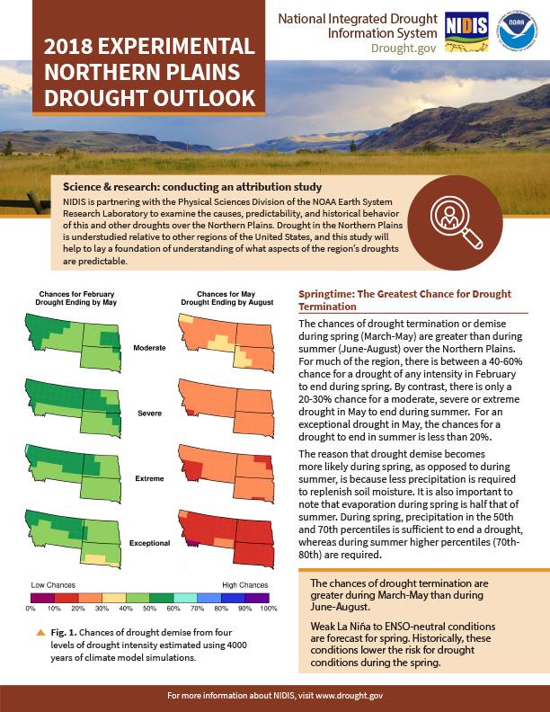
NIDIS is partnering with the Physical Sciences Division of the NOAA Earth System Research Laboratory to examine the causes, predictability, and historical behavior of this and other droughts over the Northern Plains. Drought in the Northern Plains is understudied relative to other regions of the United States, and this study will help to lay a foundation of understanding of what aspects of the region’s droughts are predictable.


