
Quarterly Climate Impacts and Outlook for the Great Lakes Region for September – November 2020. Dated December 2020.
While conditions were overall fairly normal throughout the fall, record-setting warmth, especially in the first half of November, was the most notable event this season. Fall precipitation was below or near average, with the basin seeing 87% of average.

In order to ensure the inclusion of indigenous perspectives in the implementation of our DEWS, NIDIS launched a Tribal Drought Engagement initiative in January 2019 in collaboration with the Masters of the Environment Program at University of Colorado-Boulder. The project aimed to strengthen relationships with tribal resource managers across the Missouri River Basin and Midwest DEWS regions in order to effectively deliver timely and relevant drought information.

Provides information on the typical La Niña winter pattern; the La Niña outlook; potential impacts; and comparisons of conditions during previous La Niña years.
NOAA’s Regional Climate Services Program created these outlooks to inform the public about climate impacts within their respective regions. Each regional report contains easy-to-understand language, and anyone can access them through the Drought Portal.

Provides information on the typical La Niña winter pattern; the La Niña outlook; potential winter and spring impacts; and comparisons of conditions during previous La Niña years.
NOAA’s Regional Climate Services Program created these Outlooks to inform the public about climate impacts within their respective regions. Each regional report contains easy-to-understand language, and anyone can access them through the Drought Portal.

This drought early warning update was originally sent via email to the Missouri River Basin and Midwest DEWS email lists.

A two-page status update on drought conditions, including current conditions, impacts, and outlook, in the Midwest and Northern Plains regions for June 21, 2018.

Significant Drought Impacts Reported in Kansas, Missouri, Southeast Iowa

Extreme to Exceptional Drought Worsens in Missouri, Kansas, and Iowa Since Mid-July
- Drought conditions have increased in severity and coverage across the central United States since mid-July, particularly in MO, KS, IA, MI, MN, ND, and SD.
- Despite some recent rains, exceptional drought(D4) persists in KS and MO.
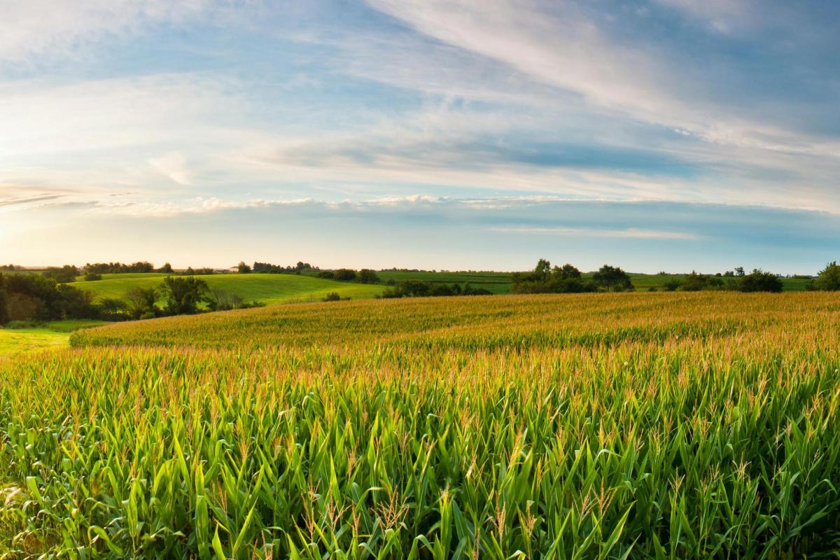
- Agriculture and water supply have been the most negatively affected by this summer’s drought conditions. Some of the recent rainfall may help soybeans and pasture recovery, but it likely fell too late to help stressed corn.

Rainfall Brings Much-Needed Drought Relief to Missouri, Kansas, and Iowa
- Recent rainfall has brought much-needed relief to the hardest-hit drought areas in MO, KS, and IA, however, at the same time, drought conditions worsened in ND.
- Although rainfall has improved conditions, drought recovery may be slow in areas that experienced extreme or exceptional drought this summer - particularly where surface water and groundwater was limited.
- Winter is typically the driest season, making autumn a key season for recovery from hydrologic drought.