U.S. flag

An official website of the United States government

DATA & MAPS

Select categories to browse data

Looking to Download Data? The Drought.gov team reformats data from multiple partners into web- and GIS-ready formats, which we use throughout Drought.gov. These data are free for all to download.
Search Results(21)

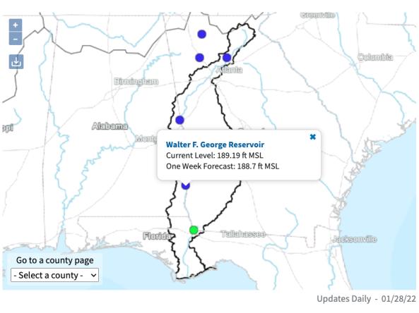
The ACF River Basin Drought and Water Dashboard is a web-based application that allows decision makers to view real-time information on the ACF River Basin all in one place. 

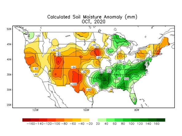
Soil moisture conditions at the daily and monthly scales depicting total soil moisture, percentiles and anomalies, as well as monthly and seasonal change.

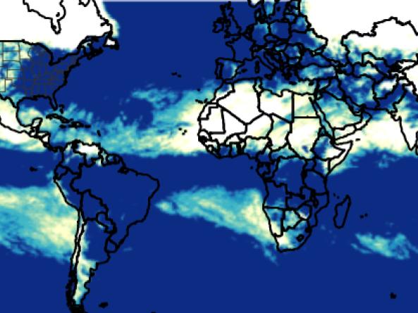
The Global Gridded Standardized Precipitation Index (SPI) is derived from the CMORPH daily dataset and includes timescales of 1, 3, 6 and 9 months.  The NOAA CMORPH precipitation dataset is a gridded dataset derived from combining numerous microwave-based estimates from low orbiter satellites. 

The Global Gridded Standardized Precipitation Index (SPI) is derived from the CMORPH daily dataset and includes timescales of 1, 3, 6 and 9 months.  The NOAA CMORPH precipitation dataset is a gridded dataset derived from combining numerous microwave-based estimates from low orbiter satellites.