U.S. flag

An official website of the United States government

DATA & MAPS

Select categories to browse data

Looking to Download Data? The Drought.gov team reformats data from multiple partners into web- and GIS-ready formats, which we use throughout Drought.gov. These data are free for all to download.
Search Results(29)

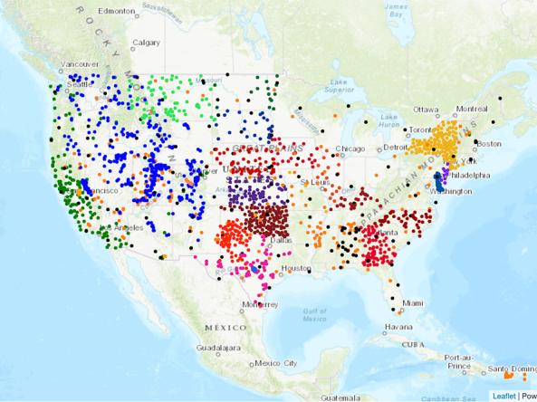
The research-based website NationalSoilMoisture.com provides high-resolution gridded soil moisture products derived from in situ soil moisture measurements, Natural Resources Conservation Service SSURGO soil characteristics, and PRISM data.

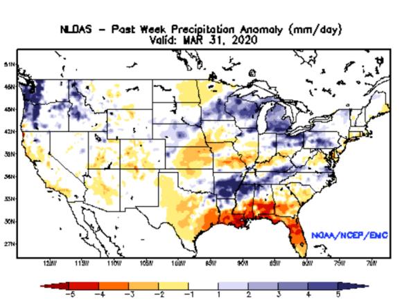
NLDAS Drought Monitor Products: an experimental drought monitor derived from near real-time soil moisture output from both the NASA MOSAIC and NCEP Noah land surface models.


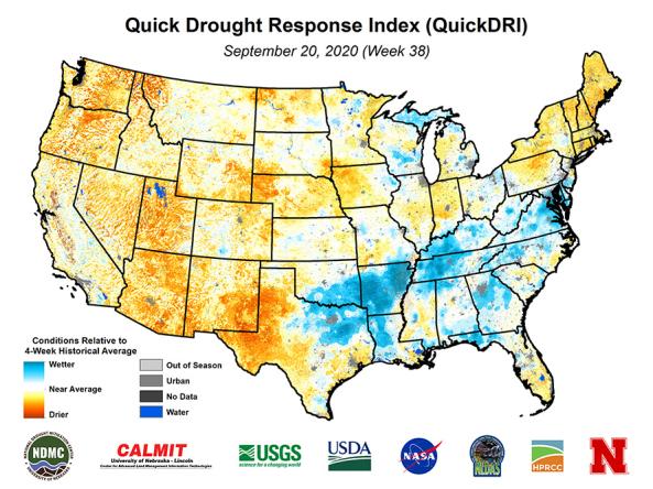
Quick Drought Response Index (QuickDRI): a geospatial tool that characterizes the intensification of short-term drought condition patterns on a weekly basis across the continental United States (CONUS) at a 1-km gridded spatial resolution.

The Soil Climate Analysis Network (SCAN) provides soil and climate data to support natural resource assessments and conservation activities, focusing on agricultural areas of the U.S.