U.S. flag

An official website of the United States government

DATA & MAPS

Select categories to browse data

Looking to Download Data? The Drought.gov team reformats data from multiple partners into web- and GIS-ready formats, which we use throughout Drought.gov. These data are free for all to download.
Search Results(31)

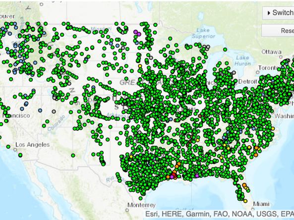
The National Weather Service's National Water Prediction Service (NWPS) provides river stage observations and forecasts and long-range river flood outlooks across the lower 48 Unite

The NOAA National Weather Service River Forecast Centers each have an interactive website with a full set of real-time observations and forecasts, including snow and river conditions

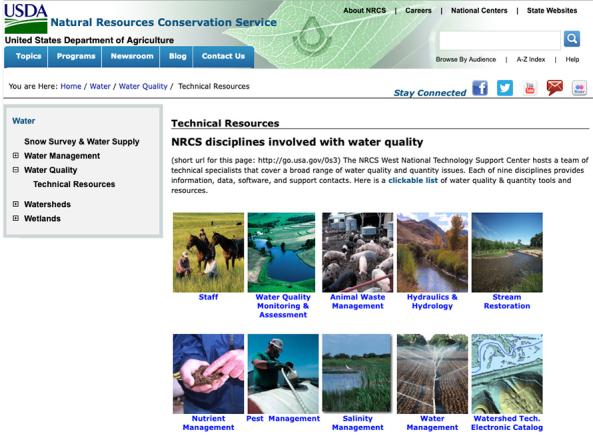
A resource for information about the USDA Natural Resource Conservation Service's work relating to water quality and quantity.

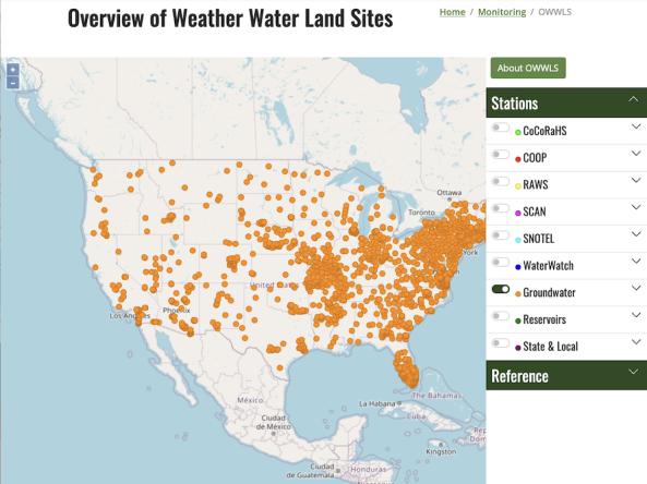
OWWLS, Overview of Weather Water Land Sites, maps the location of weather stations, streamgages, groundwater monitoring stations and reservoirs across the United States, Puerto Rico, and the