U.S. flag

An official website of the United States government

DATA & MAPS

Select categories to browse data

Looking to Download Data? The Drought.gov team reformats data from multiple partners into web- and GIS-ready formats, which we use throughout Drought.gov. These data are free for all to download.
Search Results(31)

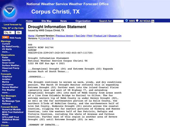
National Weather Service drought information statements provide up-to-date reports on the current drought situation for a Weather Forecast Office’s county warning and forecast area.

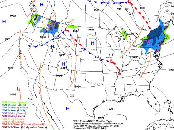
NWS provides a wide selection of forecast maps for temperature and precipitation for the next 12 hours to 6 days.

NOAA Quarterly Climate Impacts and Outlooks Reports: two-page reports on regional climate impacts with an overview of recent and forecast conditions produced by NOAA.

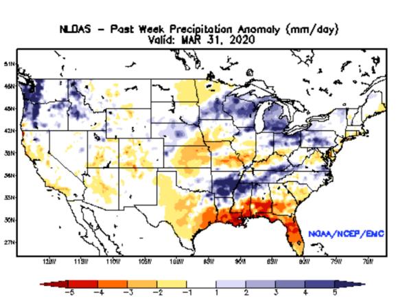
NLDAS Drought Monitor Products: an experimental drought monitor derived from near real-time soil moisture output from both the NASA MOSAIC and NCEP Noah land surface models.