An official website of the United States government
Here’s how you know
The .gov means it’s official.
Federal government websites often end in .gov or .mil. Before sharing sensitive information, make sure you’re on a federal government site.
The site is secure.
The
https://
ensures that you are connecting to the official website and that any information you provide is encrypted and transmitted securely.
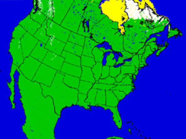
U.S. NIC provides snow maps produced using the Interactive Multisensor Snow and Ice Mapping System (IMS) depicting the extent of daily snow and ice coverage in the Northern Hemisphere.
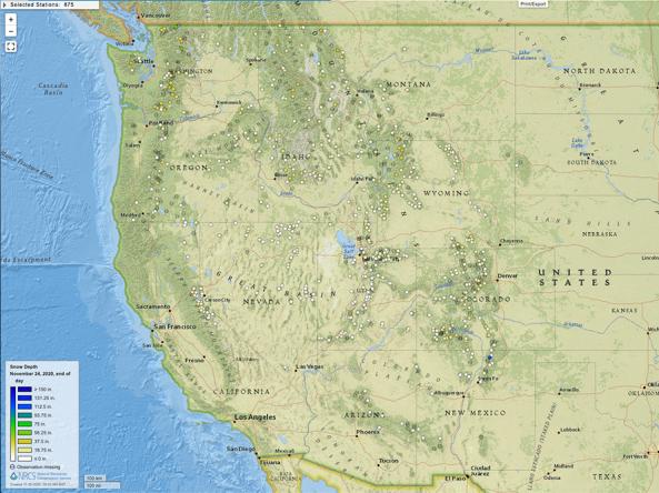
Snow depth products produced by the SNOTEL network of over 800 automated data collection sites located in remote, high-elevation mountain watersheds in the western U.S.
Data Coverage
United States
Period of Record
Current Conditions, Historical data (period of record varies)