Flash Drought Prediction and Monitoring Tools
The term “flash drought” was coined in the early 2000s to draw attention to the rapid onset or intensification of drought conditions, which can cause large, unexpected environmental and socioeconomic impacts. As a result, flash drought is a target for improved early warning capability.
In 2021, the National Integrated Drought Information System (NIDIS) and the National Weather Service hosted a three-part Flash Drought Webinar Series to help climate professionals and operational service providers better understand this phenomenon, its defining characteristics and how it varies by region and season, its impacts on agricultural and other stakeholders, and the potential for improved monitoring, prediction, and planning/response tools (datasets, maps, etc.).
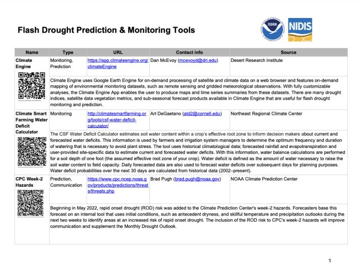
From these presentations and subsequent discussions with subject matter experts, NIDIS has developed this handout (updated as of 2023) listing currently available flash drought-oriented tools; in some cases, the tools are specific to flash drought and, in other cases, the tools represent general guidance of relevance to flash drought. There is also a companion handout that provides a quick snapshot of the general advantages and disadvantages of each primary indicator.


