Enhancing Drought Monitoring and Early Warning in the Upper Missouri River Basin

A key need at the headwaters of the Upper Missouri River Basin is the improved technical capacity of state-designated drought task forces, such as the Montana Drought and Surface Water Supply Advisory Committee. This project will address this need in two ways:
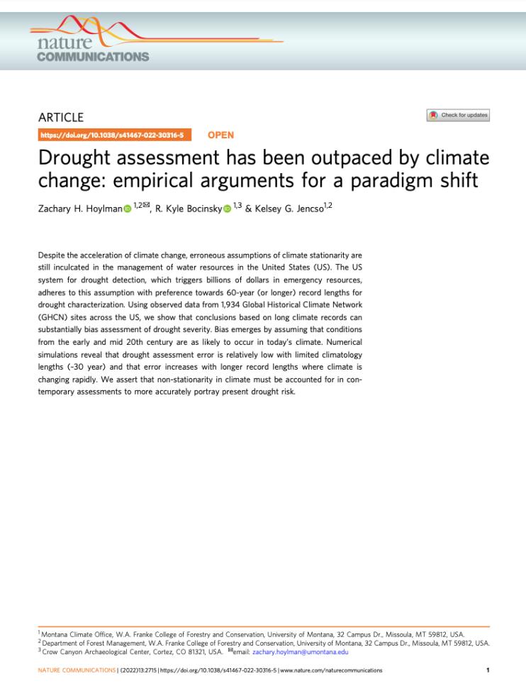
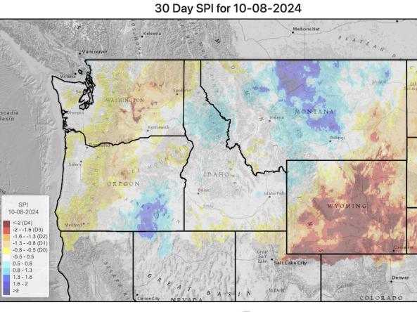
- By developing a drought indicators dashboard that integrates high-quality data (both gridded and point) from federal, state, and academic sources to calculate and display drought indices and indicators on a daily basis
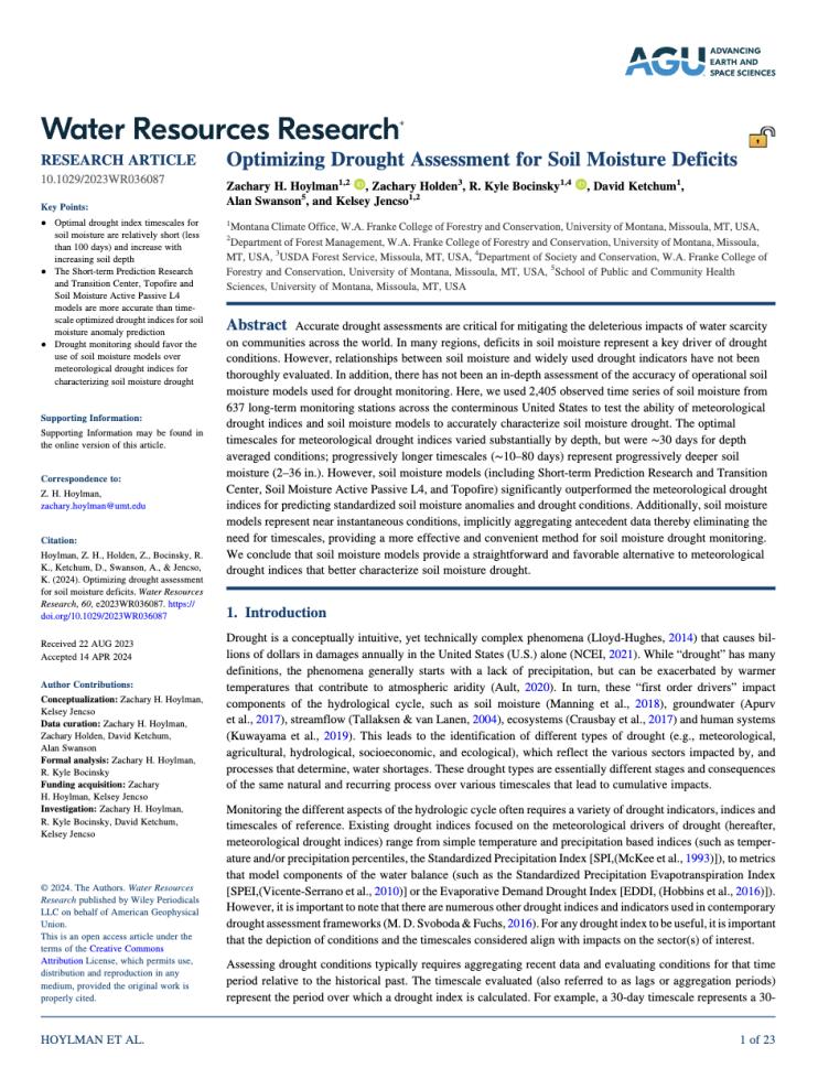
- By conducting an extensive validation analysis of drought indices to soil moisture in order to quantify drought metric performance and estimate optimal drought timescales for soil moisture monitoring across the region.
The project's goal is to work with managers to co-develop guidelines for understanding which indices work well at certain times of the year, or in given locations, to promote data-driven drought decision making in the Upper Missouri River Basin.
For more information, please contact Britt Parker (britt.parker@noaa.gov).
Research Snapshot
Related Documents
Related Data & Maps
This website provides access to drought indices that are used by the Montana Governor’s Drought and Water Supply Advisory Committee (Monitoring Sub-Committee), though it covers the whole Upper

