




Logo

Featured Agencies/Organizations

Related Data & Maps
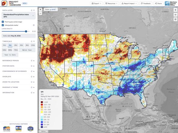
The Drought Data Dashboard, or D³, is an interactive mapping tool that allows users to view, analyze, and customize the display of key drought indices and climate variables across the co
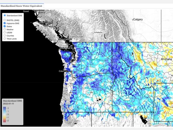
This dataset contains estimates of standardized snow pack anomalies based on the depth of snow water equivalent (SWE), from NOAA/NOHRSC's SNOw Data Assimilation System (SNODAS).
Related Webinar Recaps
Related Drought Status Updates

April 9, 2026
Related News
Site Section
News & Events
When drought intensifies, decisions cannot wait. Ranchers decide when to move livestock, water managers balance reservoir operations, and emergency managers coordinate drought response. Yet the information guiding those decisions is often scattered across multiple websites, difficult to compare, and challenging to translate into action.To help close that gap, the Montana Climate Office has
Site Section
News & Events
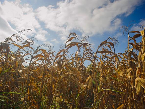
The 2017 Northern Plains drought sparked wildfires, destroyed livestock, and reduced agricultural production. Neither the drought’s swift onset nor its severity were forecasted. In May 2017, the region was mostly drought-free, and at least average summer precipitation was forecasted. By July 2017, North Dakota, South Dakota, eastern Montana, and the Canadian prairies were experiencing severe to
Related Documents
Document Preview

Document Date
January 2023
Document Preview

Document Preview
