Climate Division Datasets (nClimDiv)
National Oceanic and Atmospheric Administration (NOAA) National Centers for Environmental Information (NCEI)
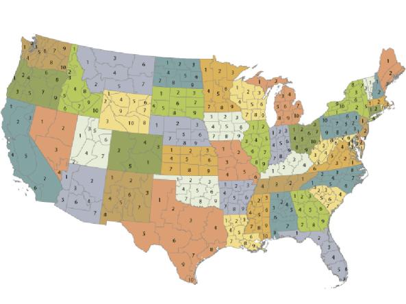
The U.S. Climate Divisional Dataset (nClimDiv) is derived from the nClimGrid-Monthly dataset from NOAA's National Centers for Environmental Information—a long-term temporally and spatially complete dataset from 1895–present for the contiguous United States. The dataset provides temperature, precipitation and drought indices, as well as heating and cooling degree days. Coverage is provided for U.S. climate divisions, states, multi-state regions, and the nation. Text output, and static and interactive graphs are available.
How to
How to use this site:
- Vist the NCEI site and select a dataset
- Monthly datasets are in text format
- Link also contains Climate Division shapefiles (download ZIP folders) for the contiguous U.S. and Alaska
- Visit the “readme” text file for additional information
Access
NOAA Monthly U.S. Climate Divisional Database (NClimDiv): Landing page
Climate Division Datasets: Download nClimDiv datasets from NCEI
Documentation