U.S. flag

An official website of the United States government

The U.S. government is closed. This site will not be updated; however, NOAA websites and social media channels necessary to protect lives and property will be maintained. To learn more, visit commerce.gov.

For the latest forecasts and critical weather information, visit weather.gov.
DATA & MAPS

Select categories to browse data

Looking to Download Data? The Drought.gov team reformats data from multiple partners into web- and GIS-ready formats, which we use throughout Drought.gov. These data are free for all to download.
Search Results(189)

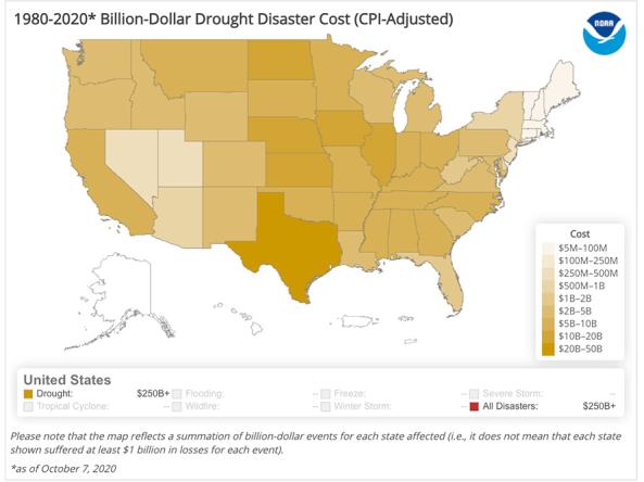
The National Centers for Environmental Information's Billion-Dollar Weather and Climate Disasters shows the weather and climate events that have had the greatest economic impact from 1980 to the present.

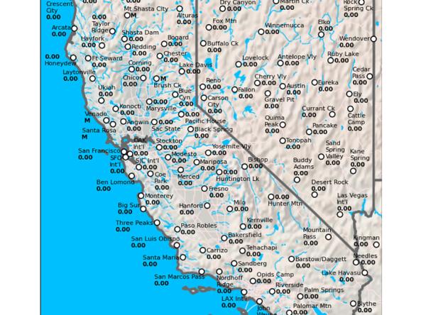
The California Data Exchange Center is a centralized database that stores, processes, and exchanges real-time hydrologic information on precipitation, river forecast, river stages/flow, snow, and reservoir storage conditions in California

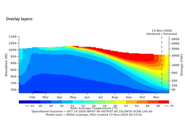
The CVTEMP tool is the public interface for modeled and observed water temperature and flow data for the Sacramento River associated with Shasta Reservoir, Shasta Dam operations, and meteorological conditions.

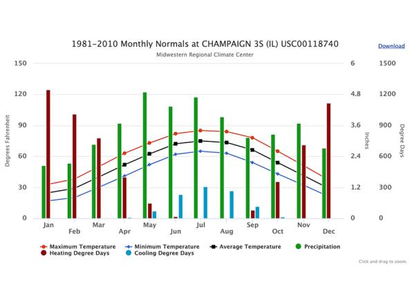
cli-MATE is the MRCC's Application Tools Environment for accessing climate data and value-added tools. cli-MATE can be used to look up such information as raw climate data, rankings of climate information, thresholds, growing season tools, maps, graphs, and more.